
After overnighting at the Shearwater Marina to get our laundry done, we did a bit of final shopping in Bella Bella, as well as dealing with a few items we needed internet connectivity for, we set back off-grid, heading north-west to an overnight anchorage that would give us a good starting point the next morning.
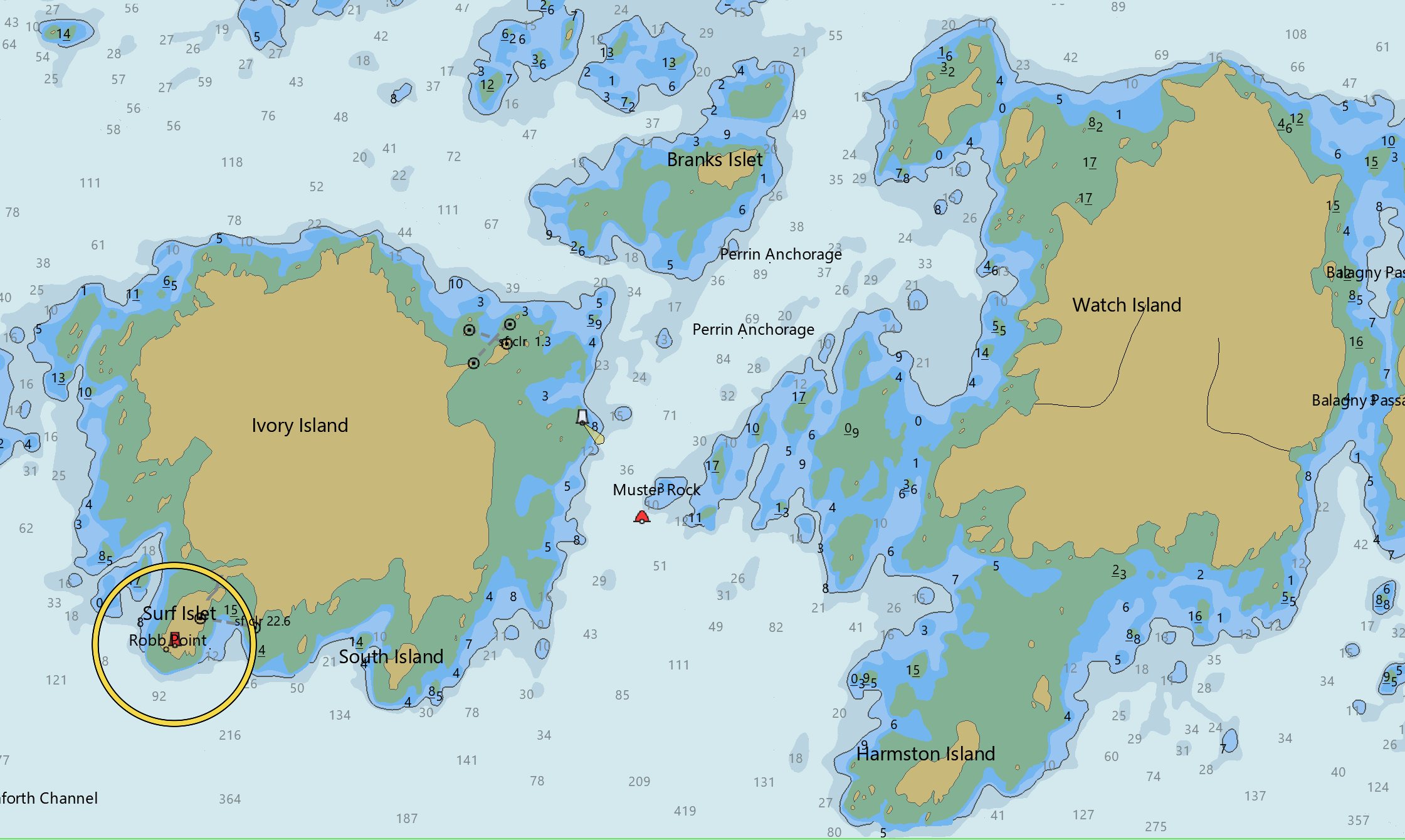
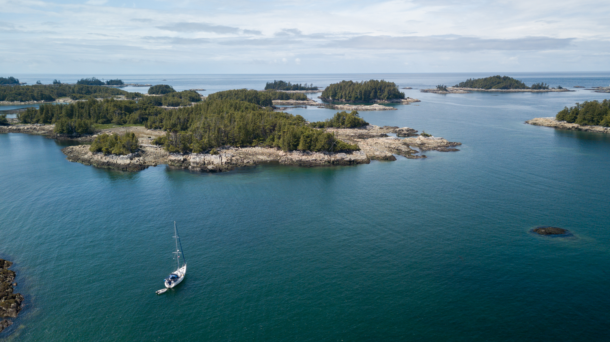
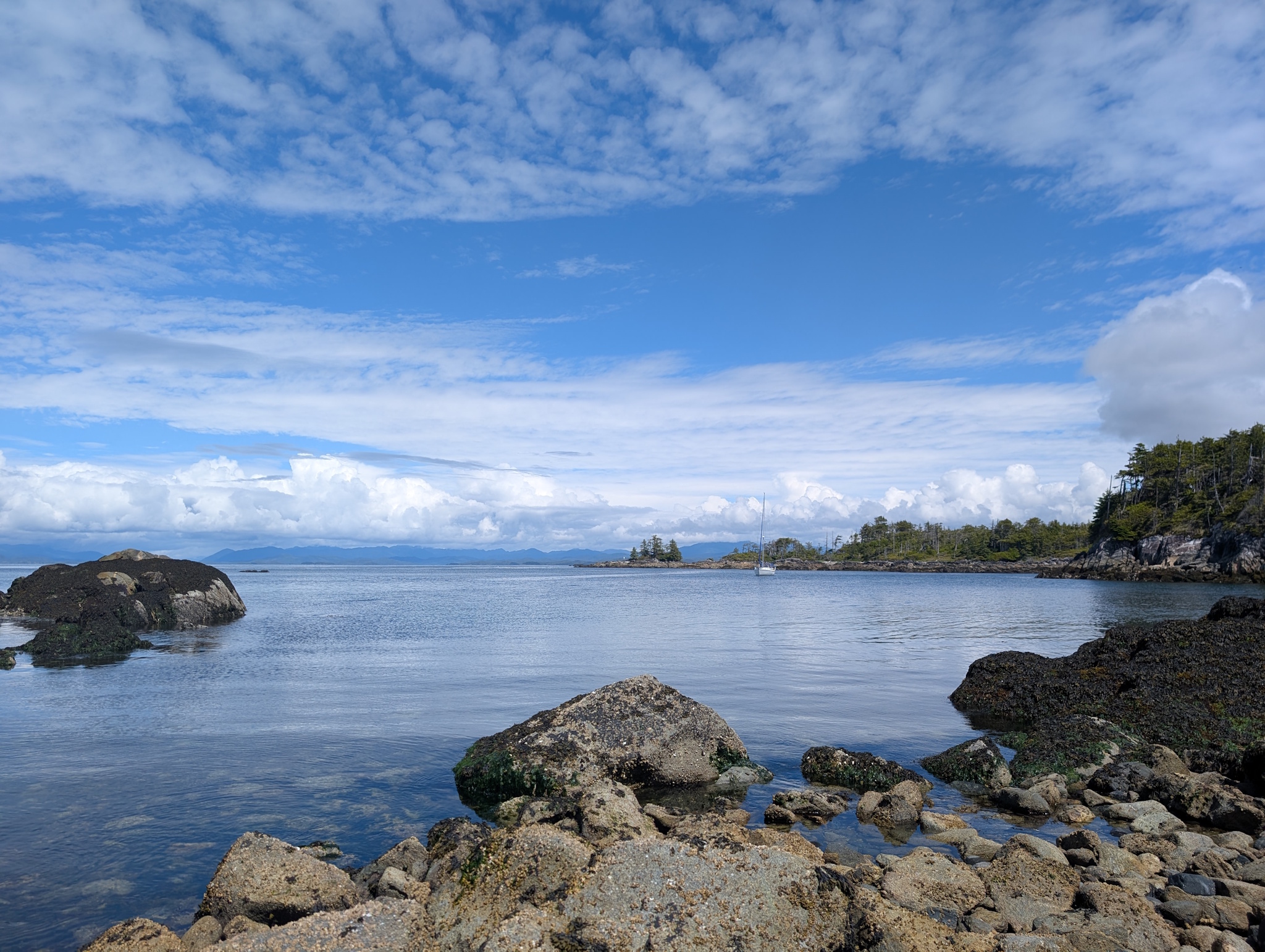
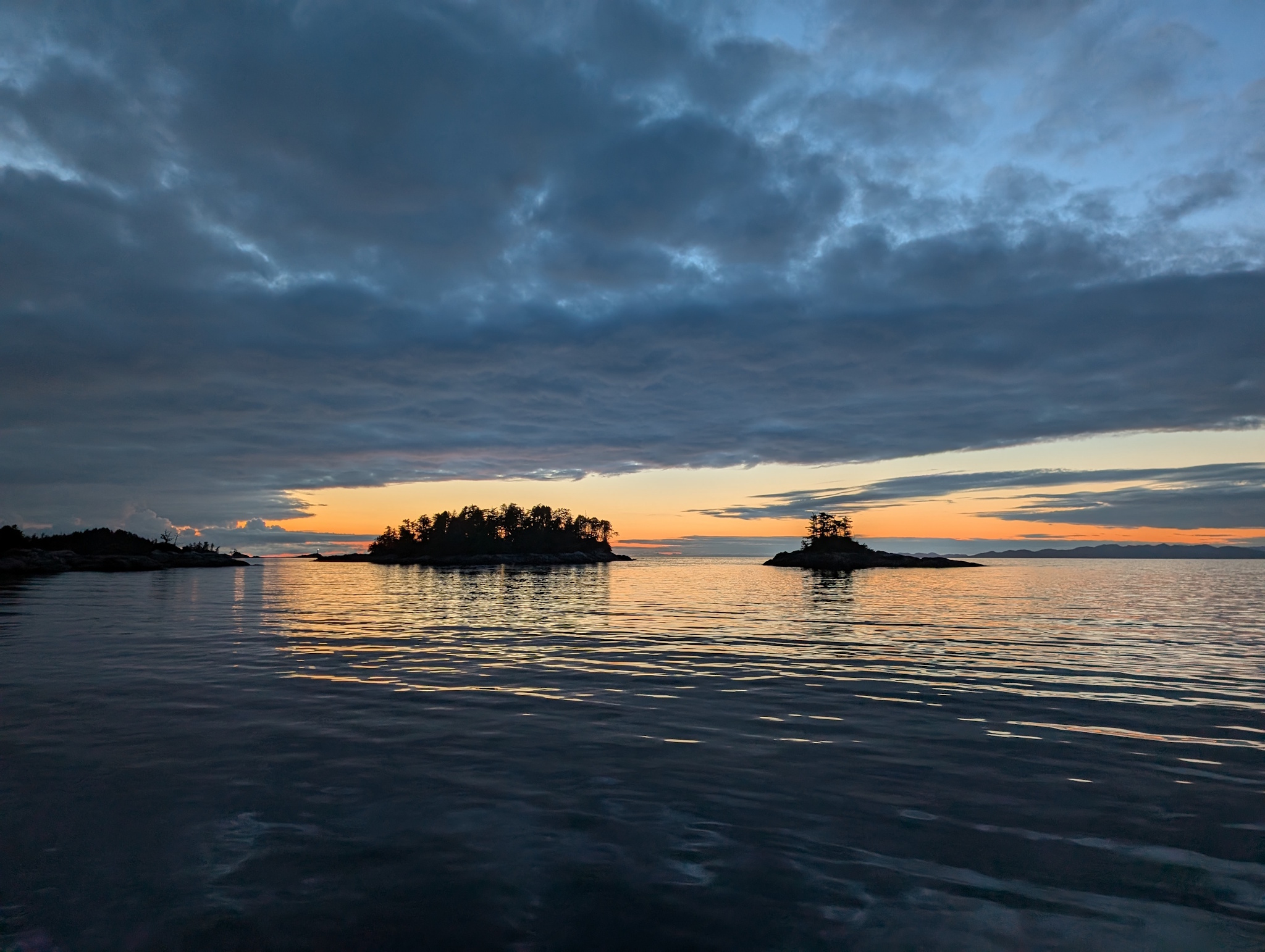
Perrin Anchorage (52°16’38″N 128°22’38″W), between Ivory and Watch Islands, and unnamed on Google Maps, doesn’t look like much from the satellite image, but as you can see from the charts, has reasonable protection in settled weather with a bunch of reefs that dry at low tide. I don’t think it would be comfortable in a southerly blow, but suited our purposes in the weather we had quite nicely.

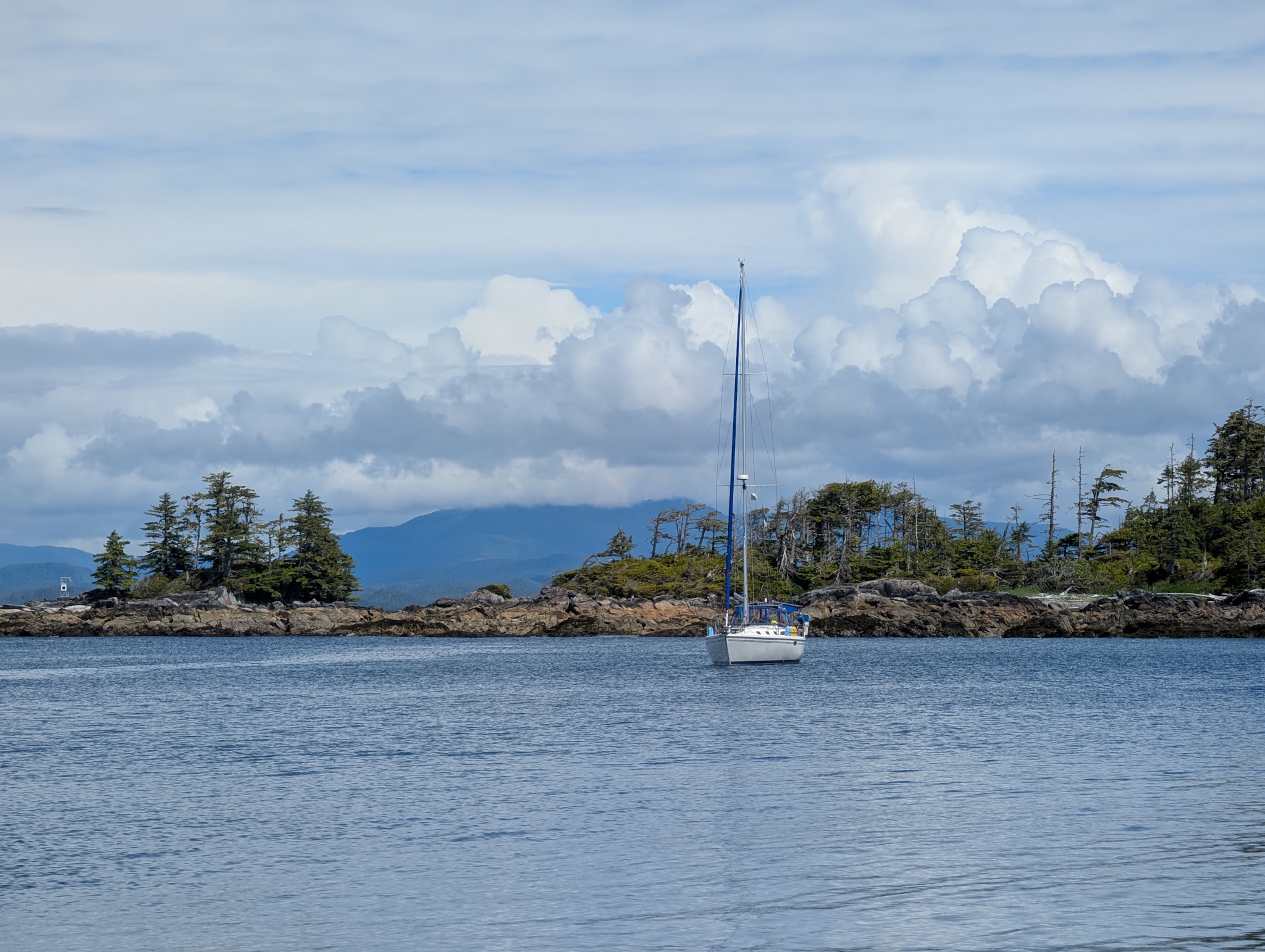
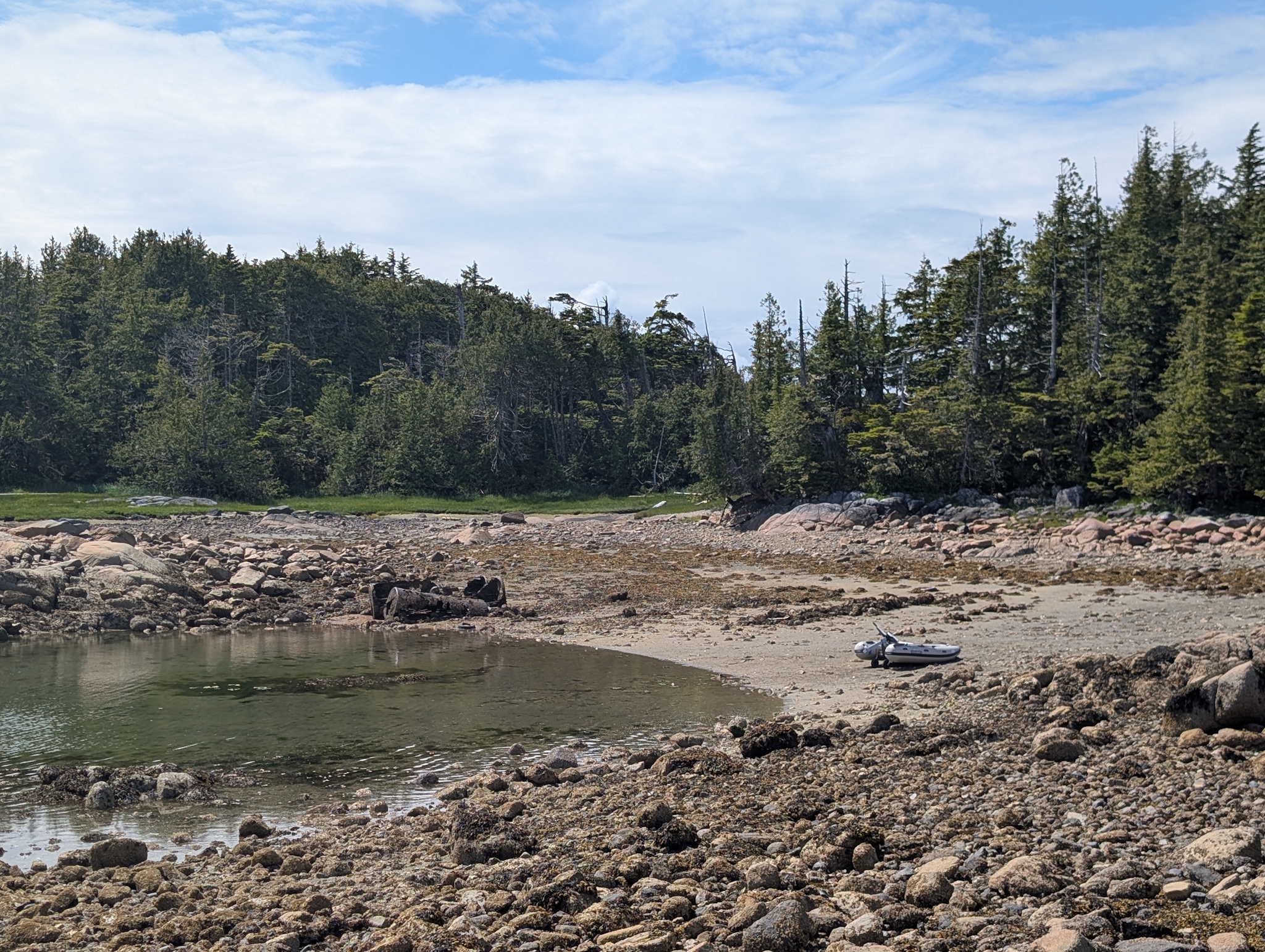
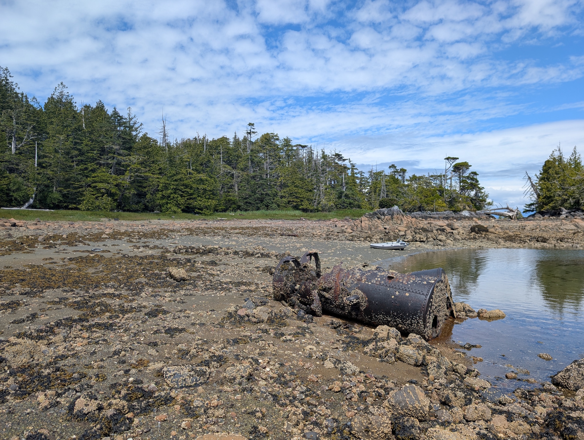
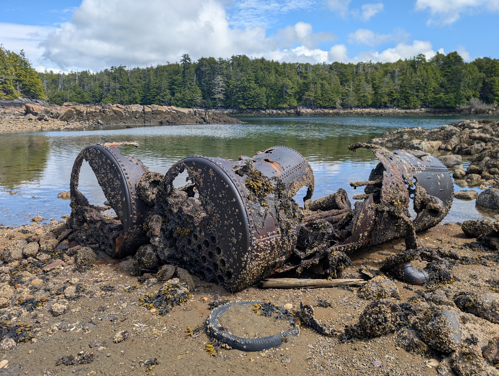
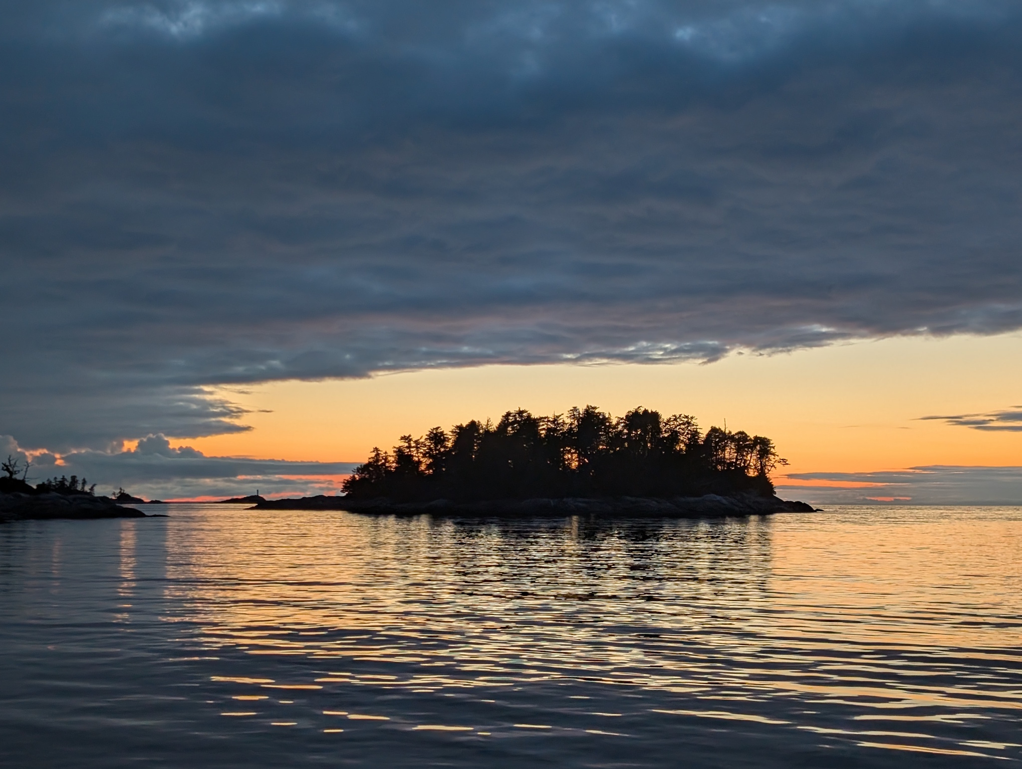
Pulling anchor around 8:30 in the morning, we motored the nearly 40 miles to Parsons Anchorage (52°30’51″N 128°44’13″W), rounding the southern tip of Price Island through Catala Passage between Bray and McInnes Islands. With little-to-no wind, there wasn’t much to help stabilize the boat against the rollers coming in off the southern end of the Hecate Strait, so the first few hours of the day were a bit uncomfortable until we started getting protection from the westerly swells from Aristazable Island. Parsons Anchorage resides within the Kitasoo Spirit Bear Conservancy, where there is an unusually high population of spirit bears, Kermode black bears with a recessive trait that gives them a white or cream-colored coat. While we didn’t see any bears, we did have this lovely, calm anchorage all to ourselves.
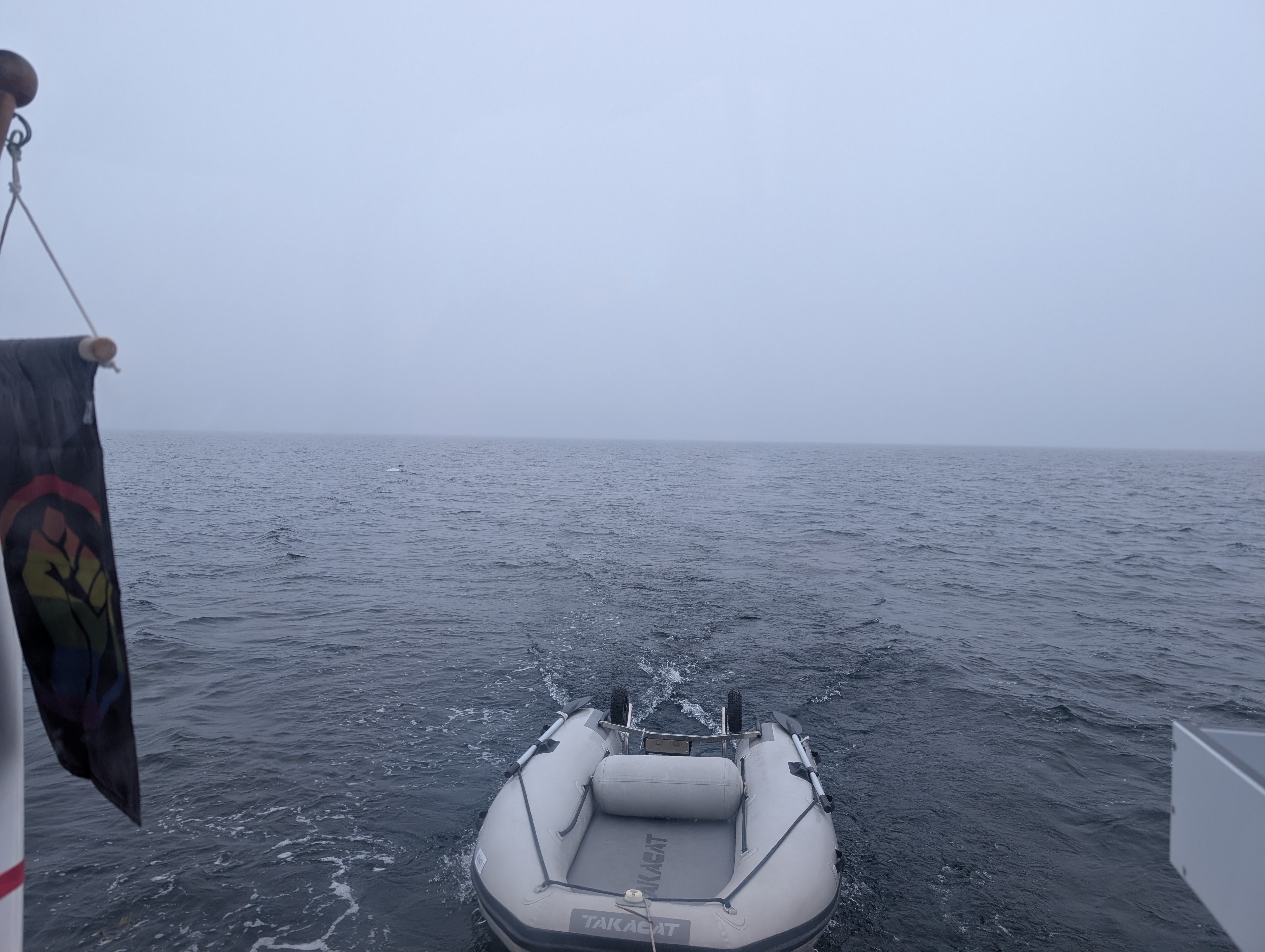
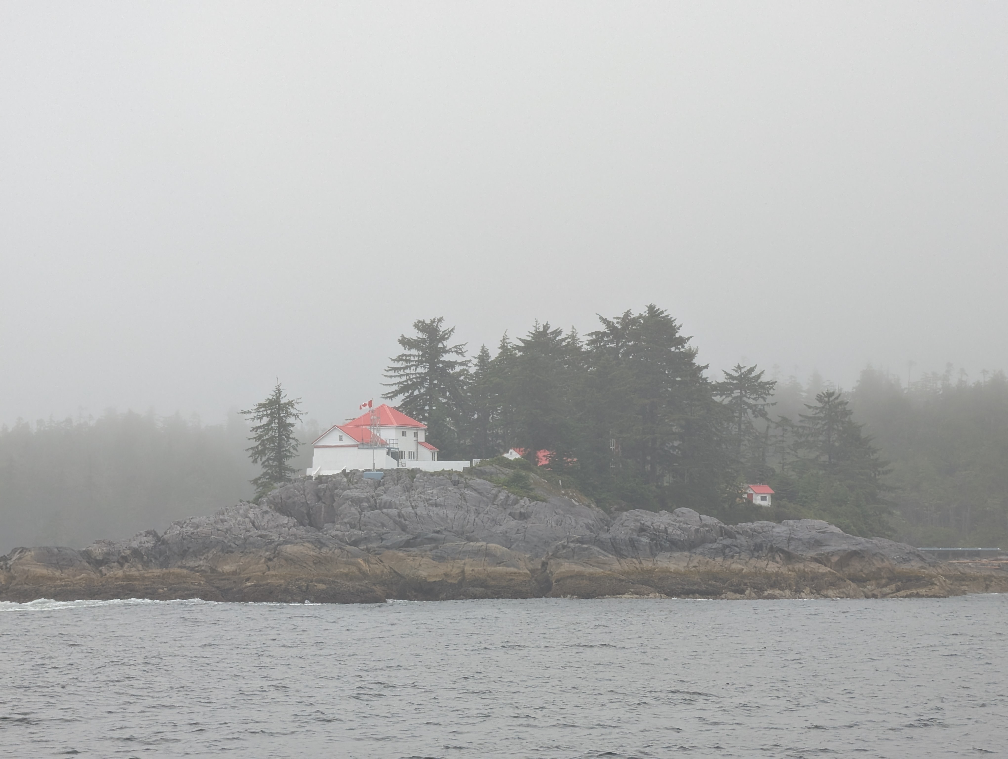
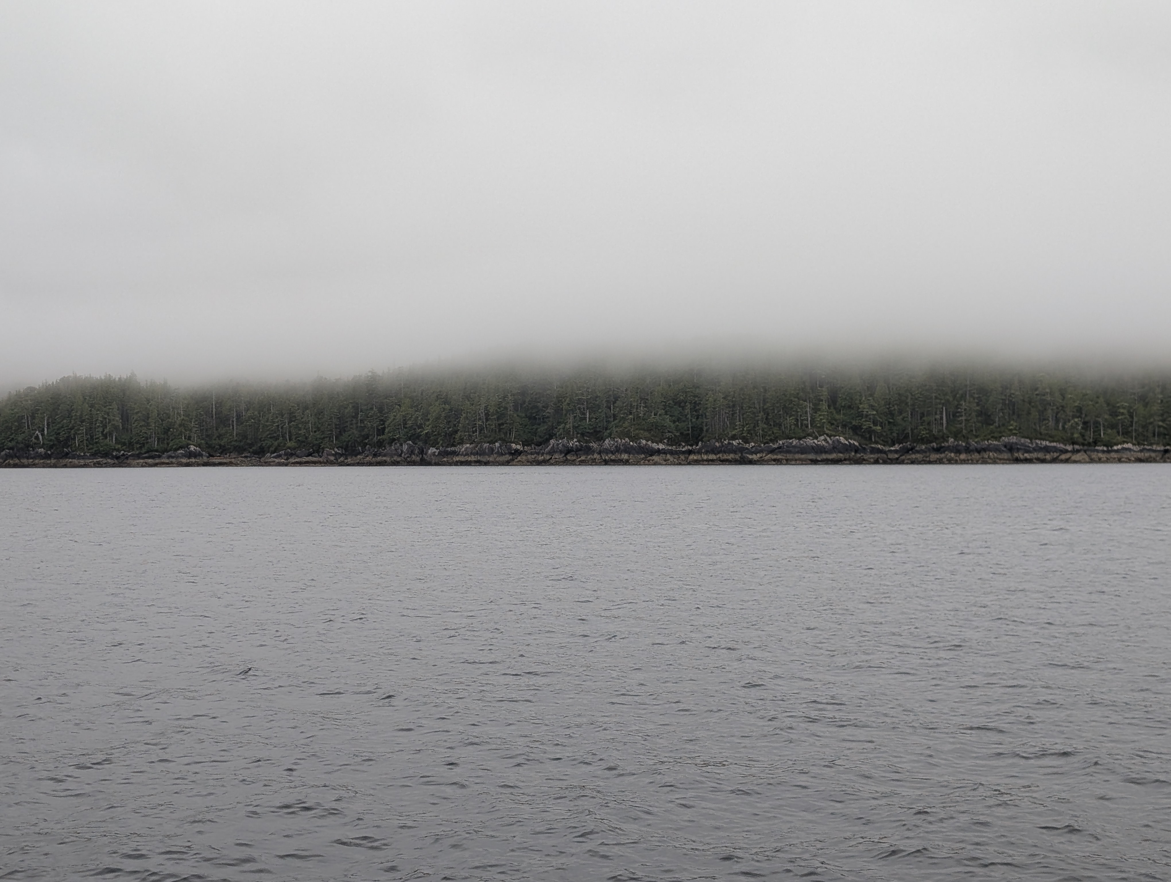
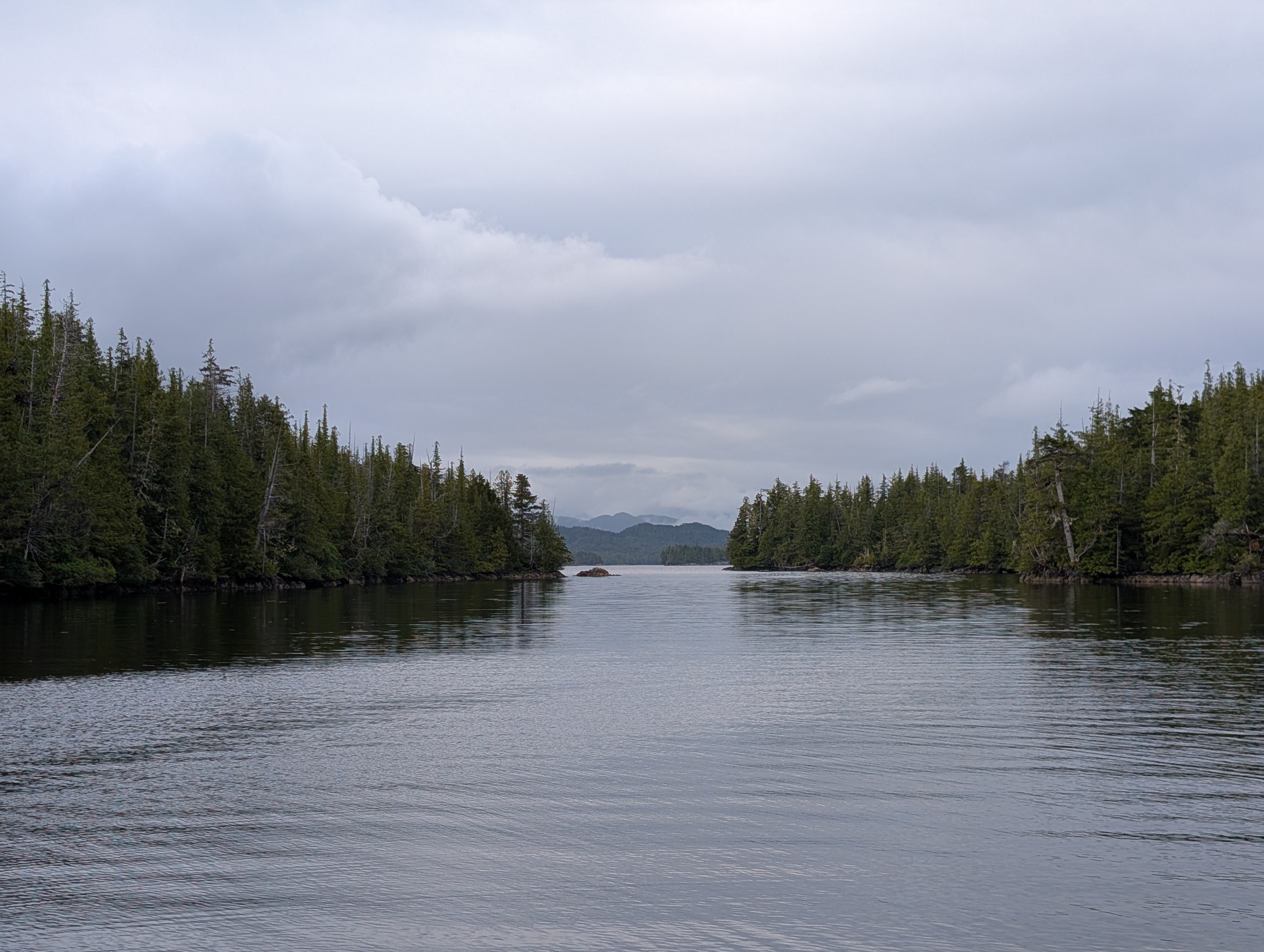
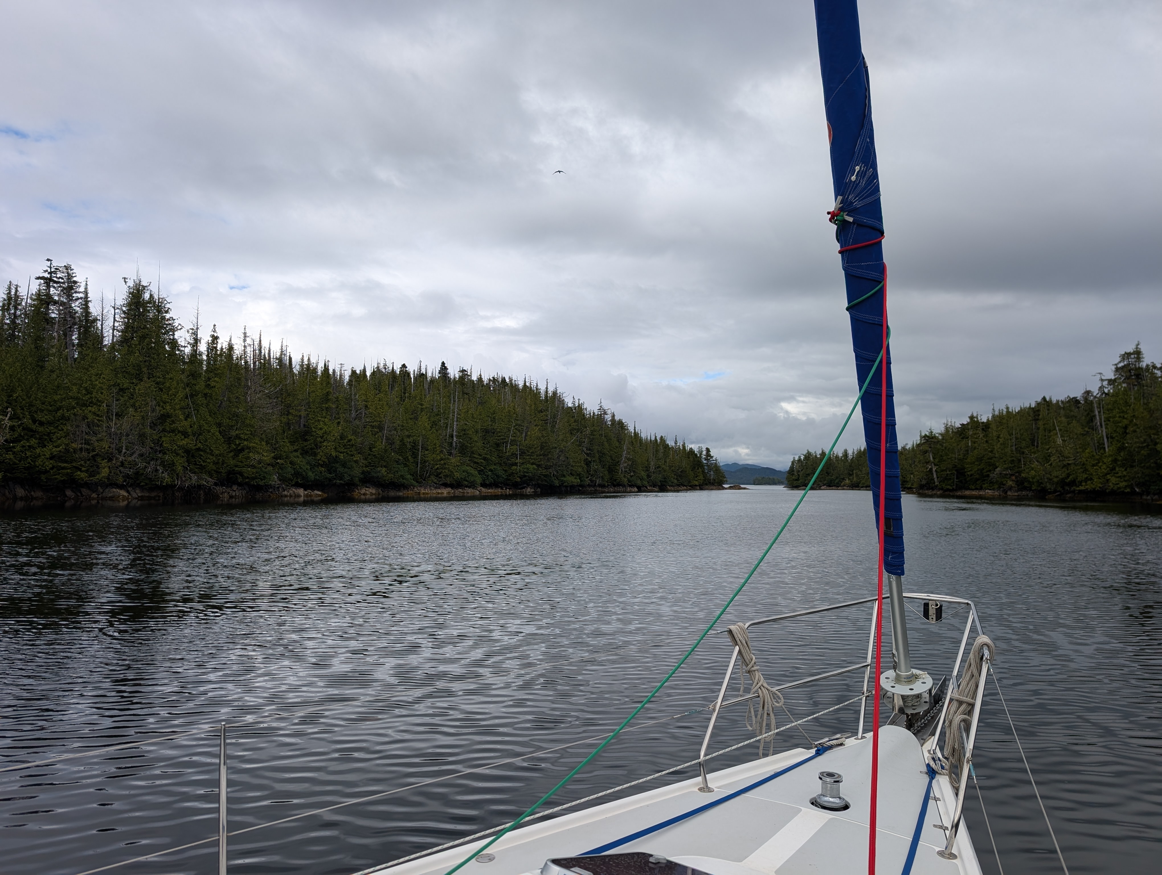
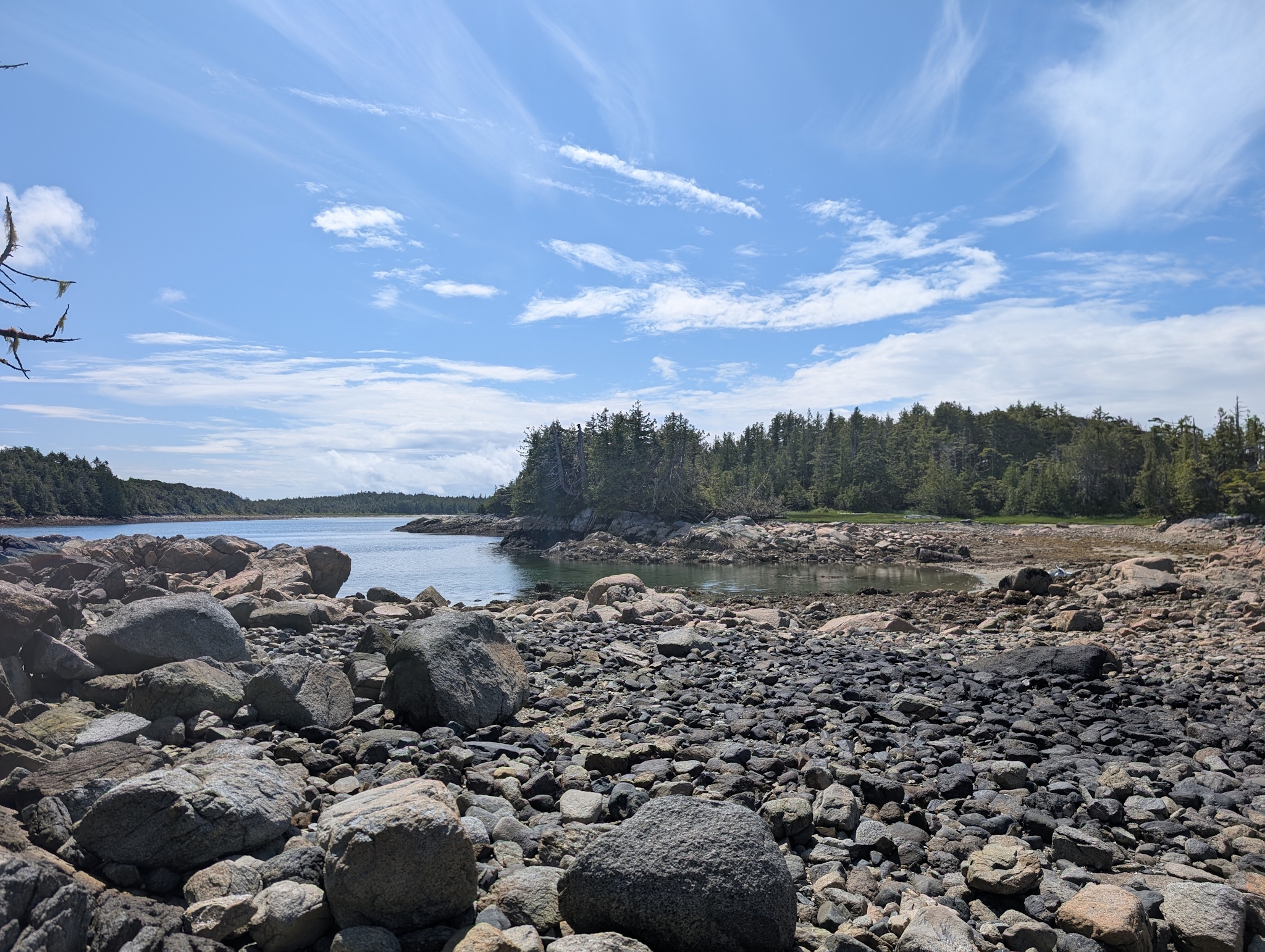
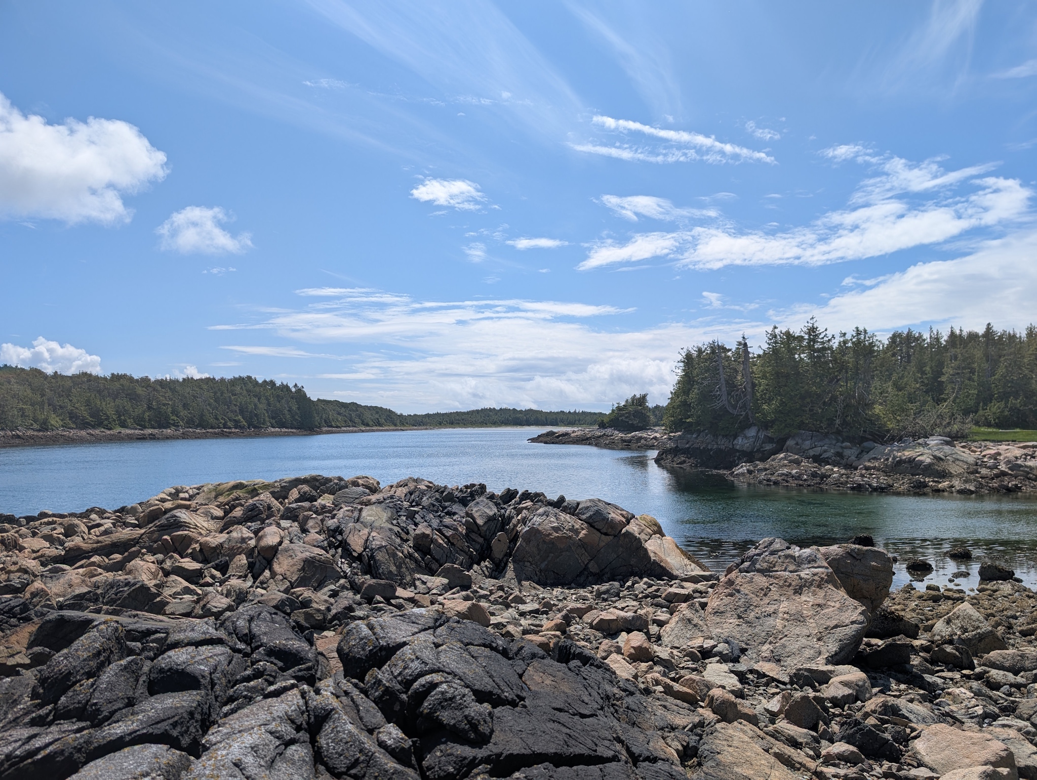
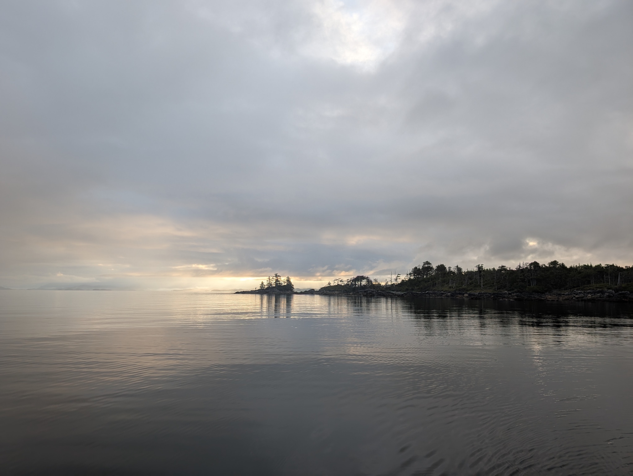
The following morning was thick with fog, with visibility once we left the anchorage getting as low as 100-200 meters, fog that would remain with us the entire day as we motored in quiet calm up to Devlin Bay (53°03’38″N 129°36’21″W), about 45 nautical miles away. This was a bit of a strange day since with the heavy fog and occasional rain we could barely see the islands on either side of us as we headed north-north-west. Our route took us through Loredo Channel between Princess Royal and Aristazabal Islands, and then through Estevan Sound between Campania Island and the island group to its west. Devlin Bay is the eastern entrance to what looks like a beautiful network of passages and bays in the middle of this group of islands: Prior, Barnard, Trutch, and Lotbinière. I wish we’d have had more time to explore! But we had to continue north towards our crossing point across the Hecate Strait for a good-looking weather window at the end of the week.
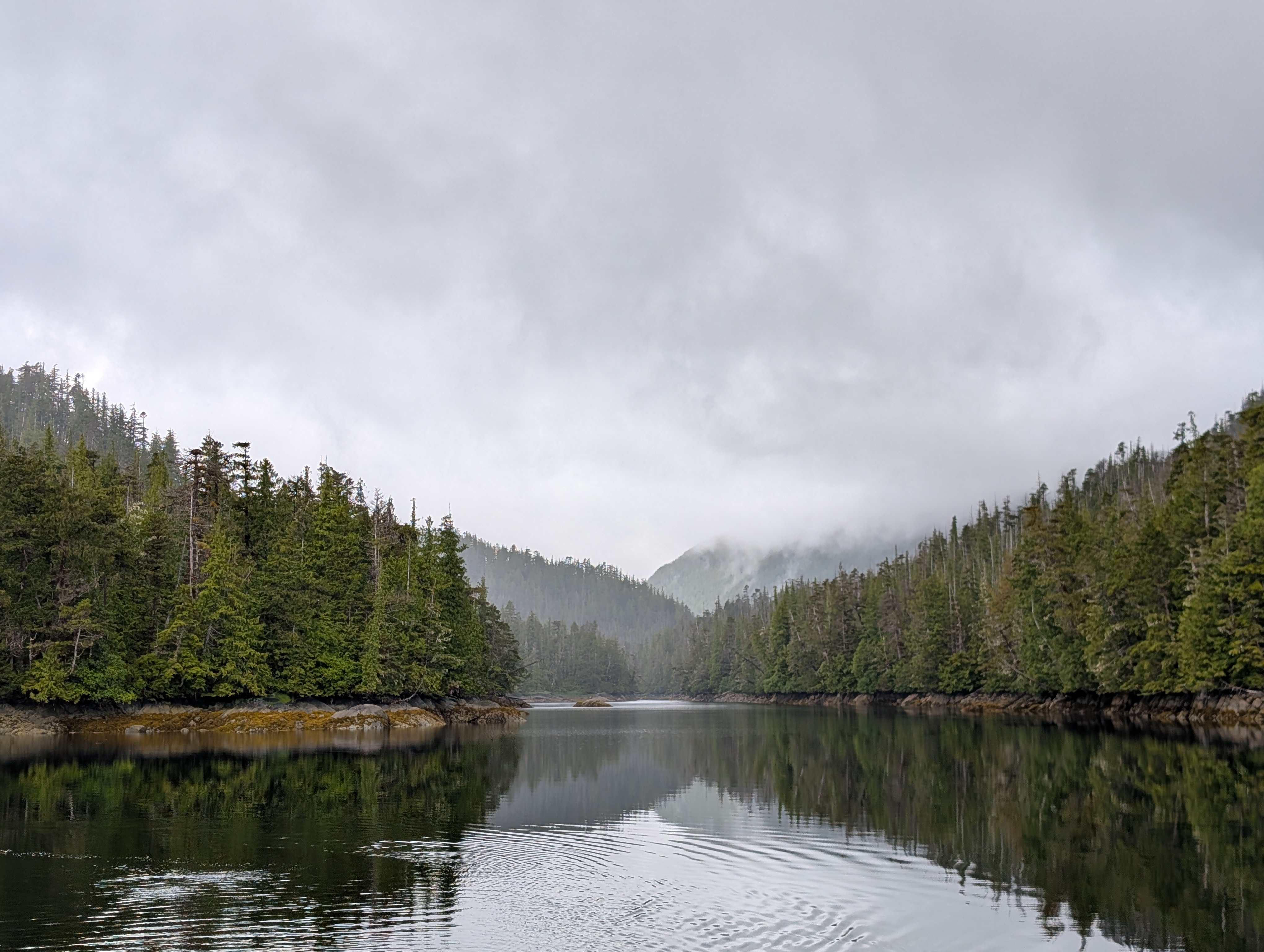
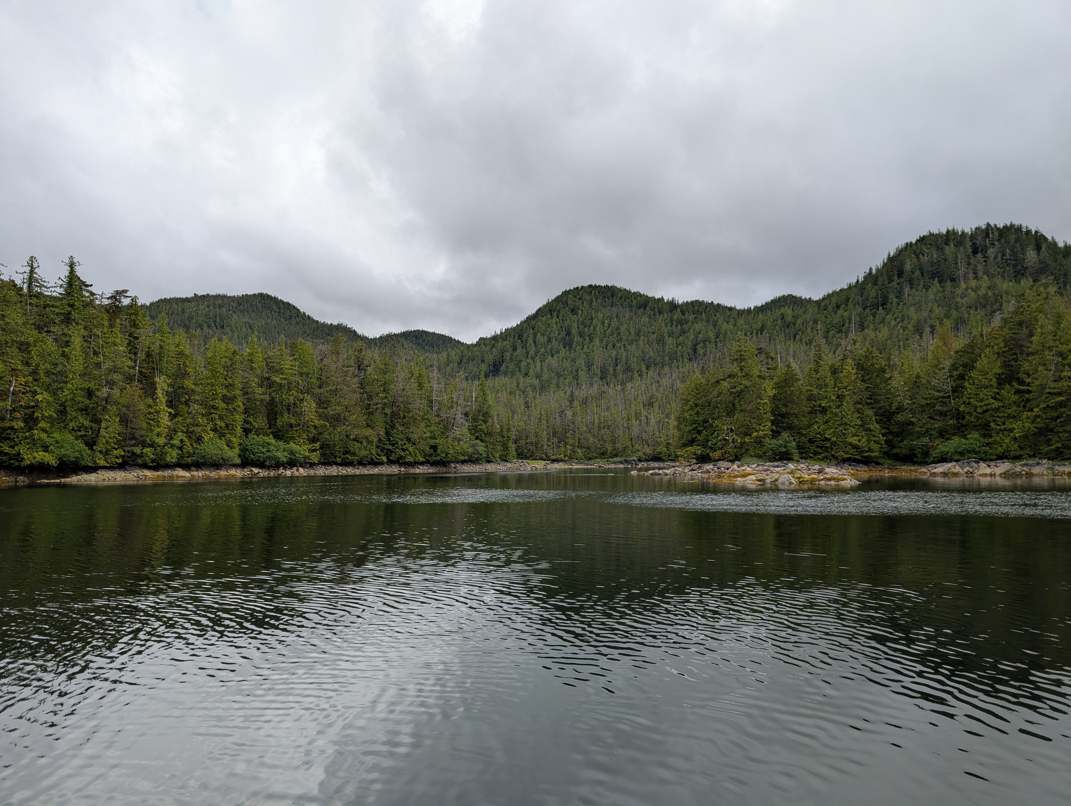
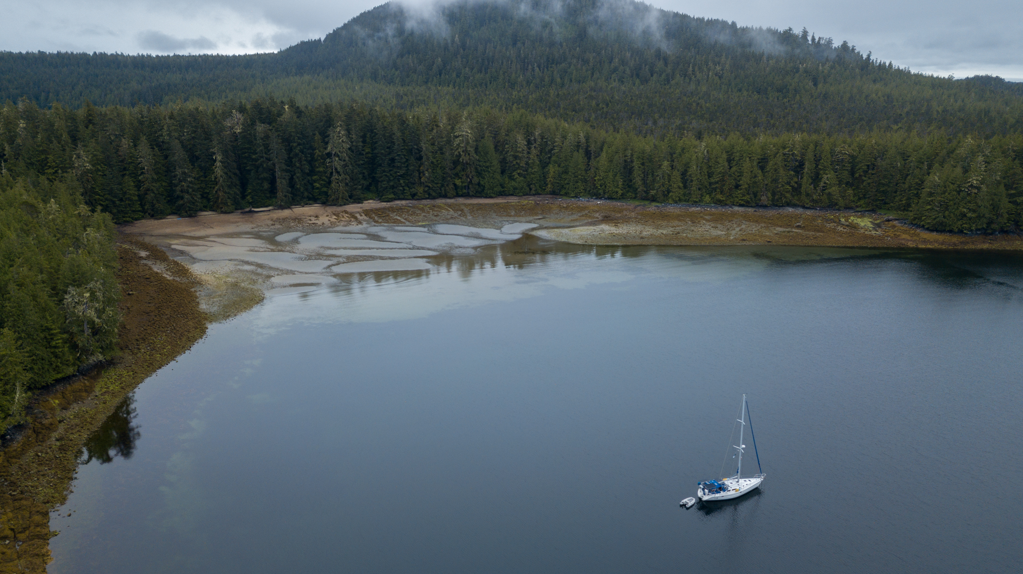
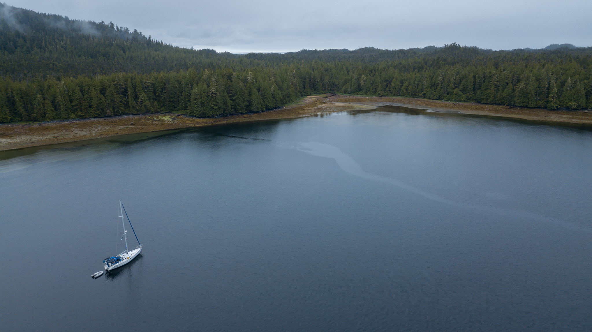
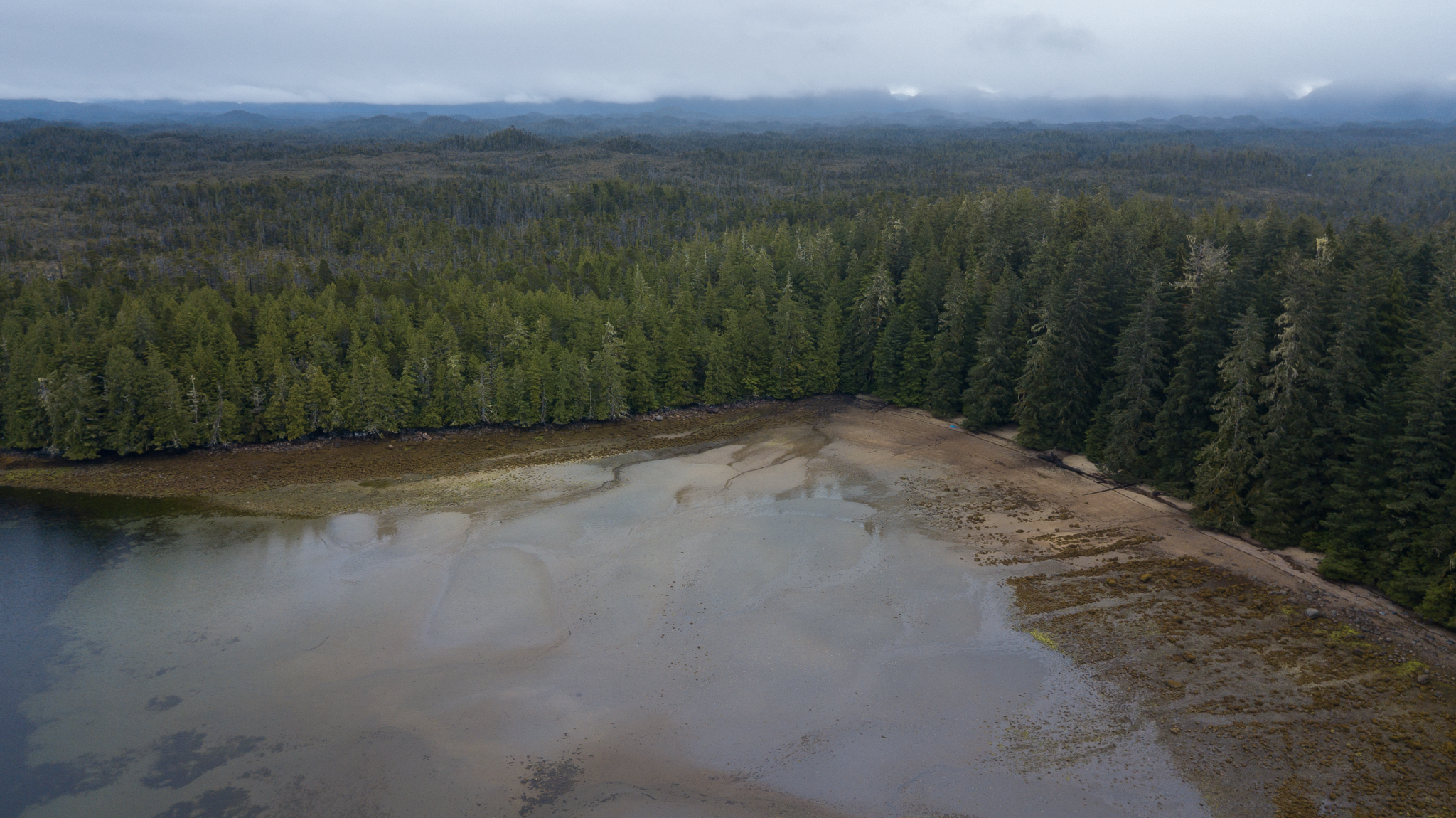
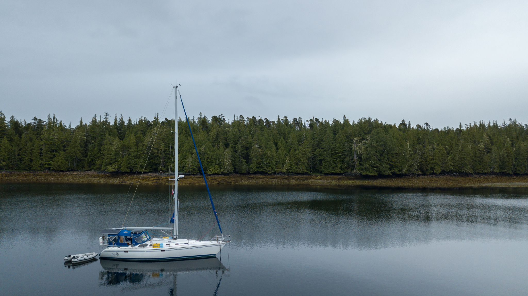
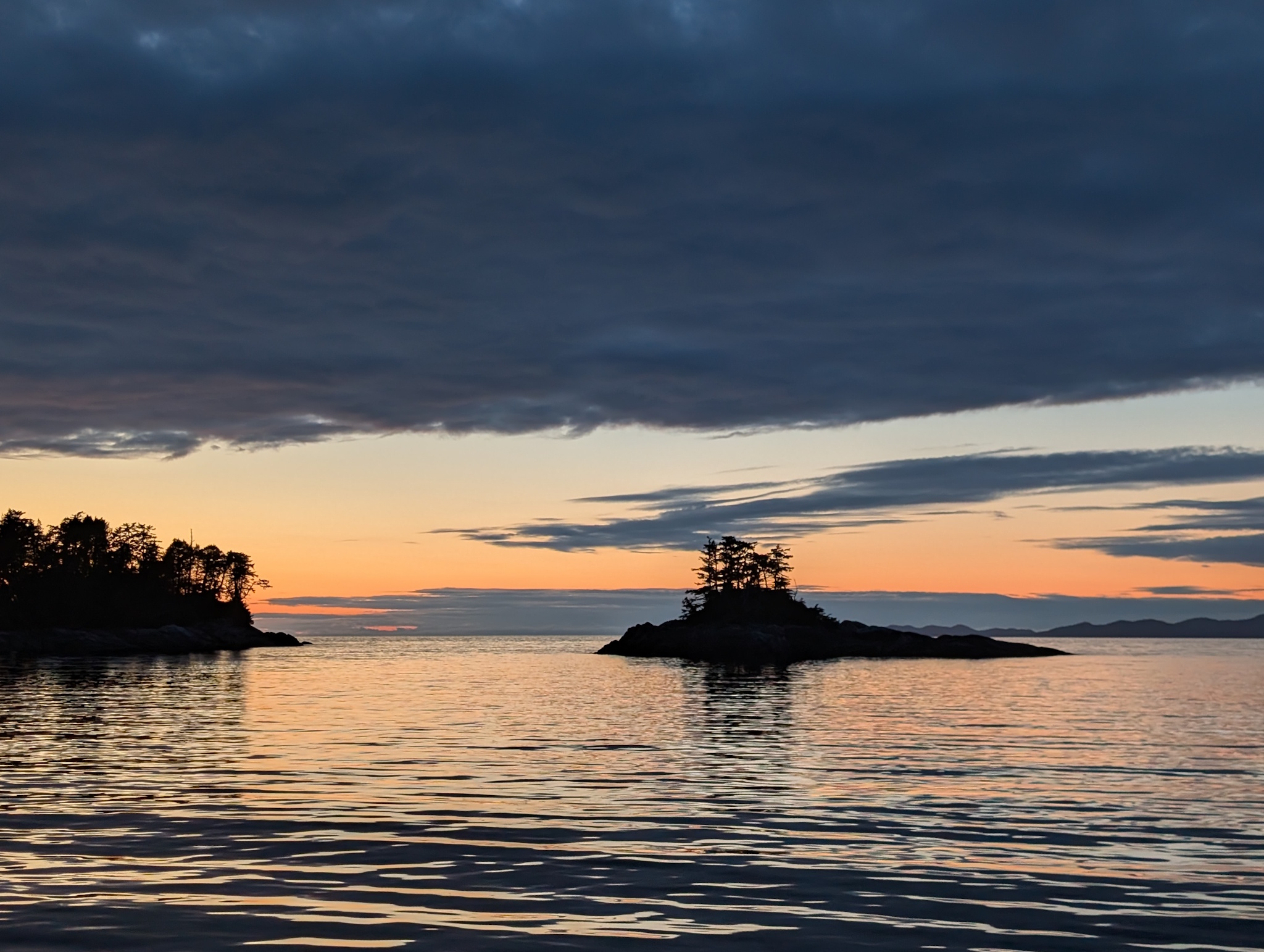
We woke up again to thick fog. The thing about fog is it isn’t going to stick around in high winds, so we spent another day motoring through the calm, through Nepean Sound, up Principe Channel between Pitt and Banks Islands, to a small anchorage on the north-eastern side of Banks Island called Colby Bay (53°31’47″N 130°10’34″W). This was snug and secure, very protected from winds and waves in almost any direction, and we dropped anchor in about 35′ of water before settling in for the night, with our destination the following day being just 16 nautical miles away on the northeastern tip of Banks Island, Larsen Harbour.
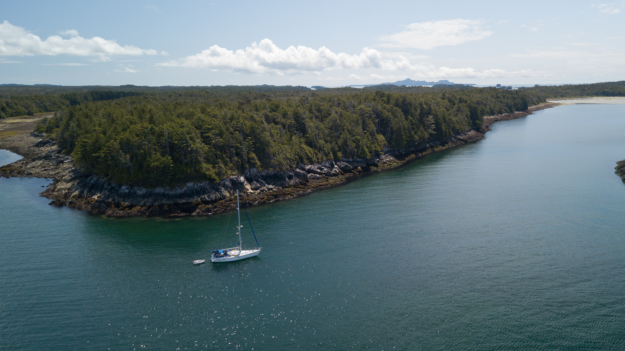
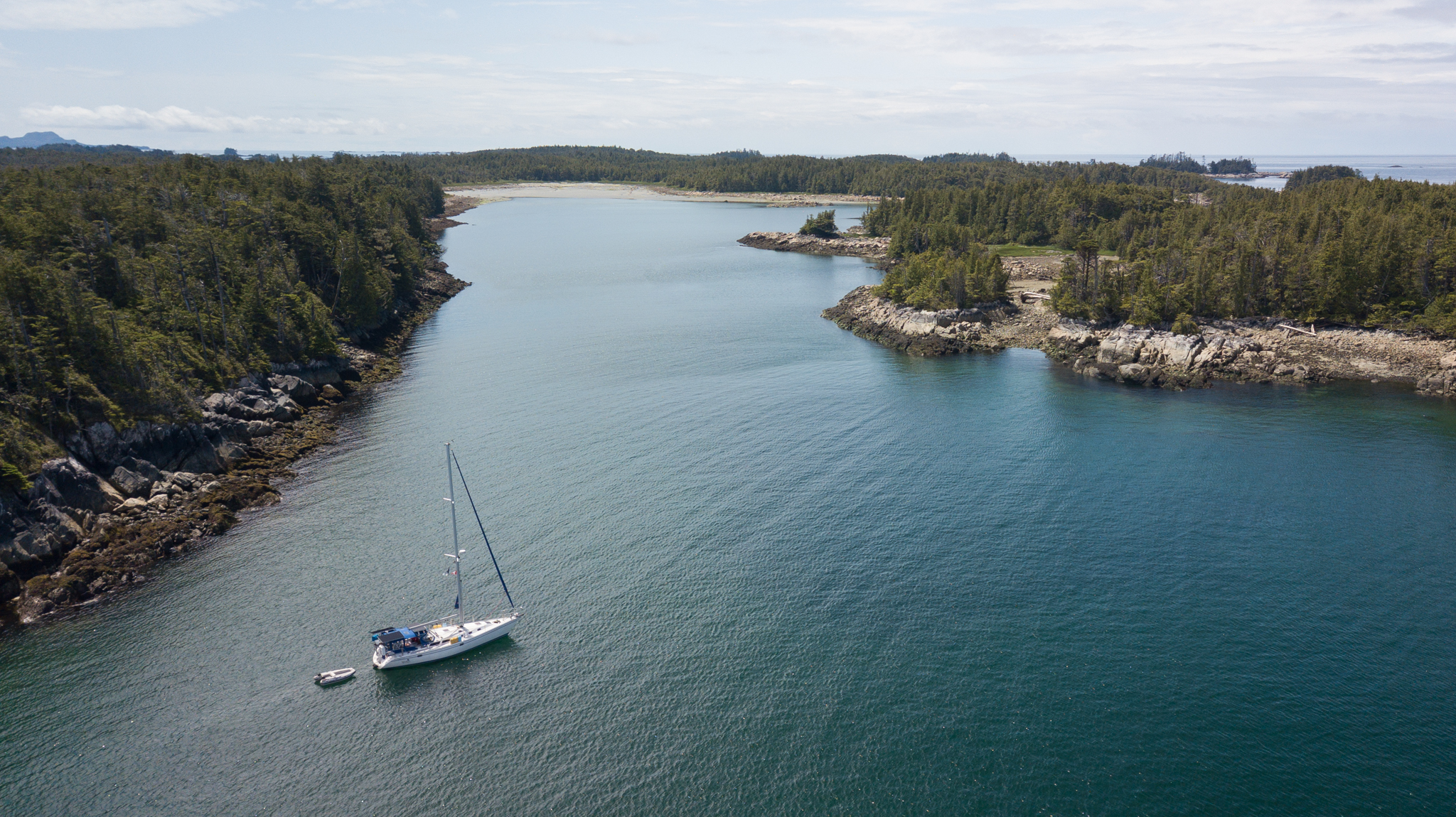
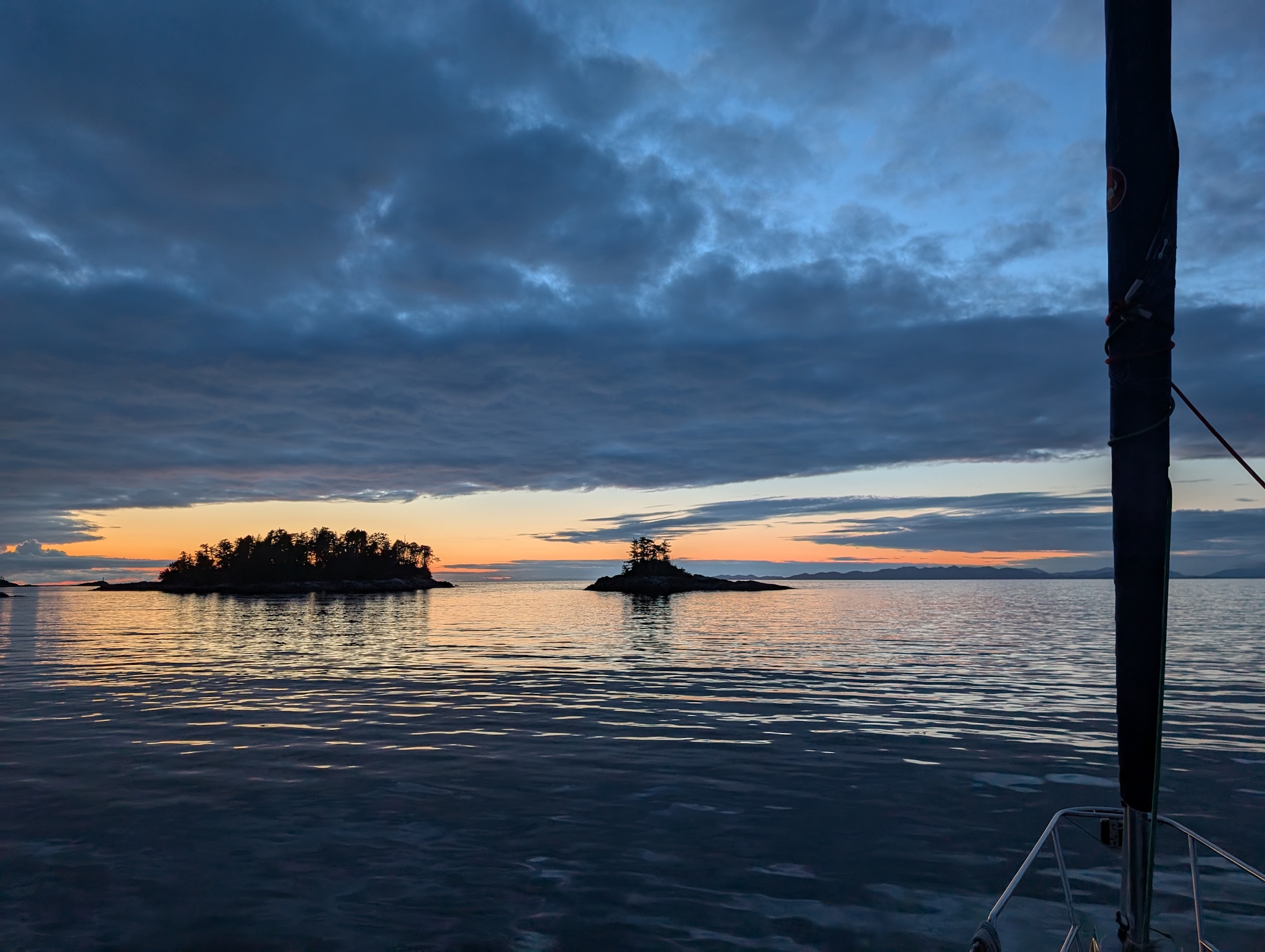
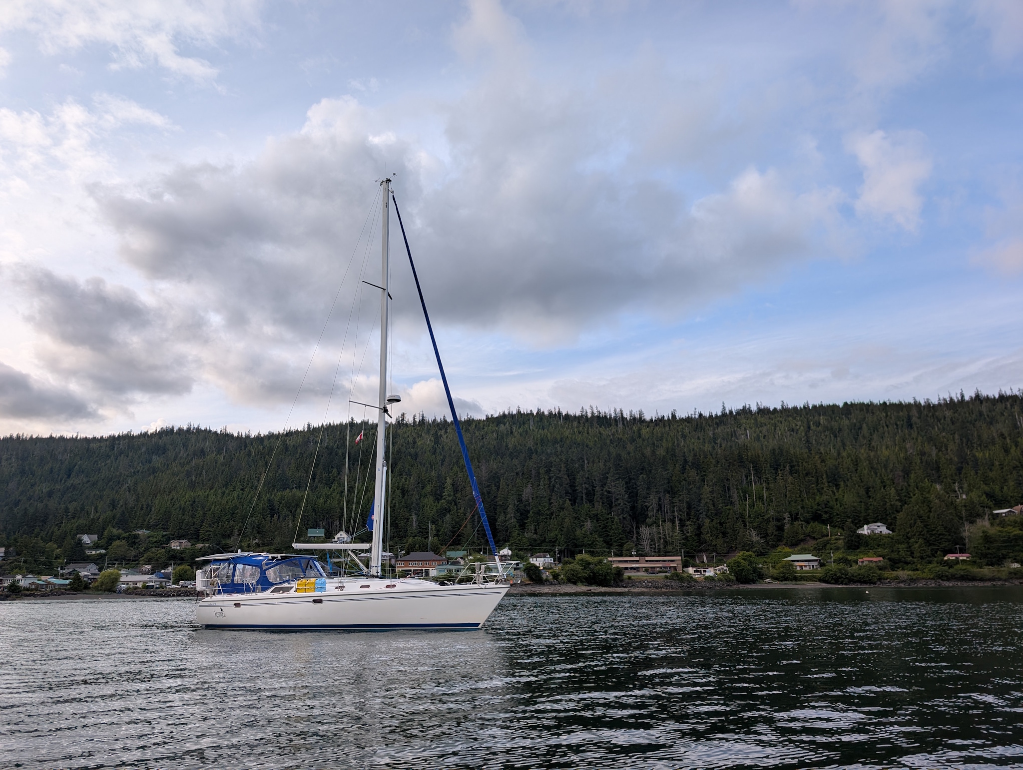
Larsen Harbour is a very narrow, rather shallow spot between the northeast end of Banks Island, Larsen Island, and an unnamed group of Islands between Larsen Island and White Rocks. We anchored in mud, dense with kelp/weeds, in just over 25′ of water. I doubt this would be a very secure-feeling anchorage in strong northerly winds, but with the predictions from PredictWind continuing to be reasonably accurate, and with the following two days (Thursday and Friday, July 3rd & 4th) both predicted to be very calm days out on the Hecate Strait, we felt comfortable setting up here overnight for the 50-ish nautical mile crossing over to Haida Gwaii and the channel entrance that would lead us to Daajing Giids.
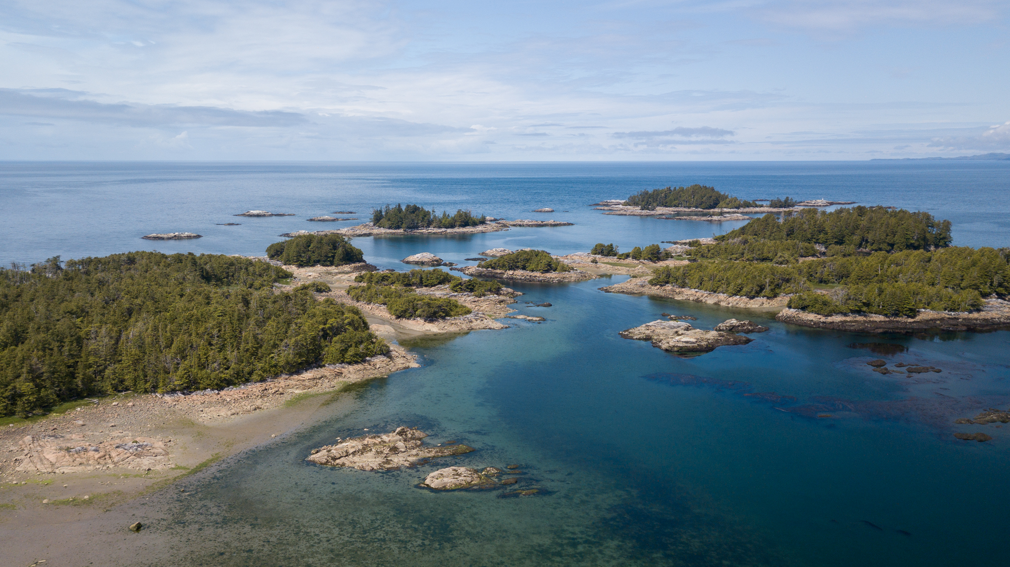


Hecate Strait, despite its fearsome reputation during windy weather, was a non-event for us in nearly dead winds. We were able to motorsail for the first 3 hours of the day at least on 9-ish knots of wind, until the winds died down below 5 knots and we continued along in the calm, with only very small swells and minimal motion on the boat. You can’t just sail directly towards Bearskin Bay, where Daajing Giids and Skidegate are located: there’s a large reef/shallow area that continues north of Sandspit for nearly ten nautical miles, and deeper draft vessels need to take the deeper entrance channel that a half mile off the eastern shore of Graham Island (X̱aaydag̱a Gwaay.yaay linag̱waay in the Haida people’s language) that starts around 53°25’20″N 131°53’06″W.
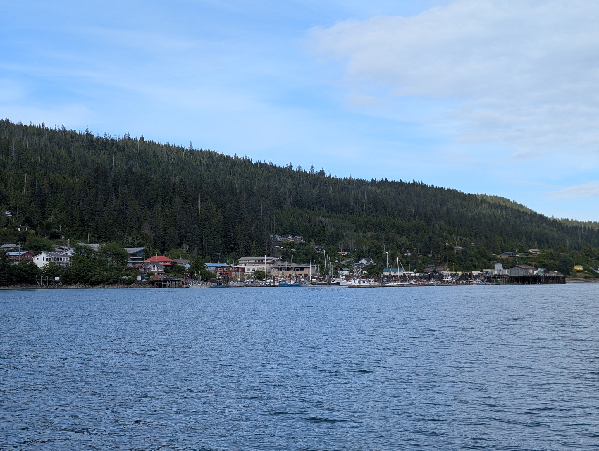
While we probably could have gotten away with just sailing over most of the shallows and still had 20′ under our keel, it wouldn’t have saved us many miles, and I prefer caution when sailing in remote areas like this. Another 15 nautical miles in and we were able to drop anchor in about 25′ of water in front of the town of Daajing Giids. Another major milestone for us, we arrived early enough that we’ll be able to check out the Daajing Giids Farmer’s Market on Saturday and attend our mandatory Gwaii Haanas orientation on Monday morning. Our Gwaii Haanas cruising permit is valid from July 10th through August 2nd, so we can spend the weekend and the first half of next week here in Bearskin Bay.
With three weeks in Gwaii Haanas, we’ll finally be able to slow down, at least a little bit. I really do wish we had more time, not just here, but even in the Outside Passage. I’m far from the first person to observe this, but you could spend nearly a lifetime in this area exploring every little bay and inlet. But the seasons don’t wait, and for better or worse, we have to make it to various places at various times, while giving ourselves time to wait for weather windows when needed.