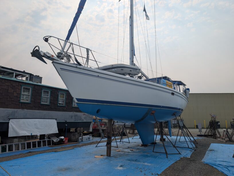
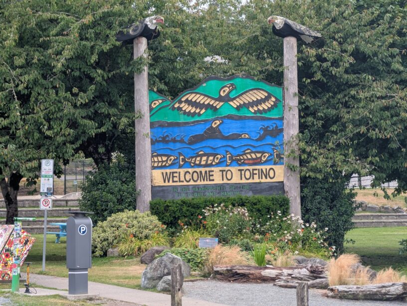
Winter Harbour is not a town in any sense, but it might well be considered a village during the summer months. What used to be a fishing and whaling station is now a series of docks and fishing resorts. RVs pack the place, with some having permanent (or perhaps semi-permanent) structures built around the RVs, all people who are there at least half the year, I was told. There were few other sailboats around while we were there, with two others at the government wharf, while we stayed at the Outpost at Winter Harbour’s dock, which in the evenings was mostly full, and during the day mostly empty. All small (trailerable, for the most part) fishing boats with big outboard engines. Some charters, but most of them owned by people staying in the RVs or the various cabins in the area, and all coming back each day with ice chests full of huge fish: salmon, lingcod, halibut, and various rockfish. Fish much bigger than we are even set up to catch, and it made me realize I need to spend some money on larger rods & reels, especially if we start going after pelagic fish offshore eventually. Maybe in Tofino.
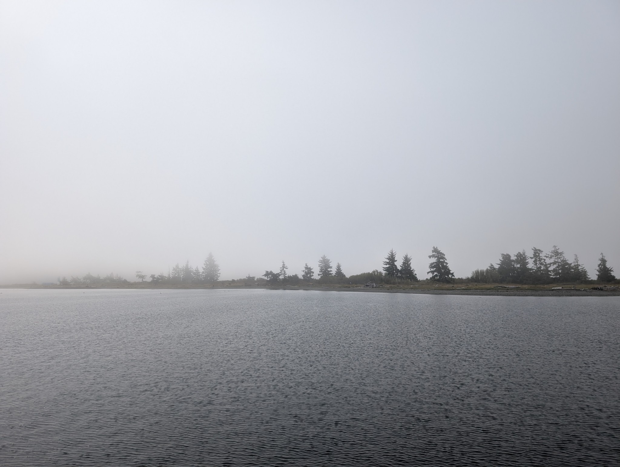
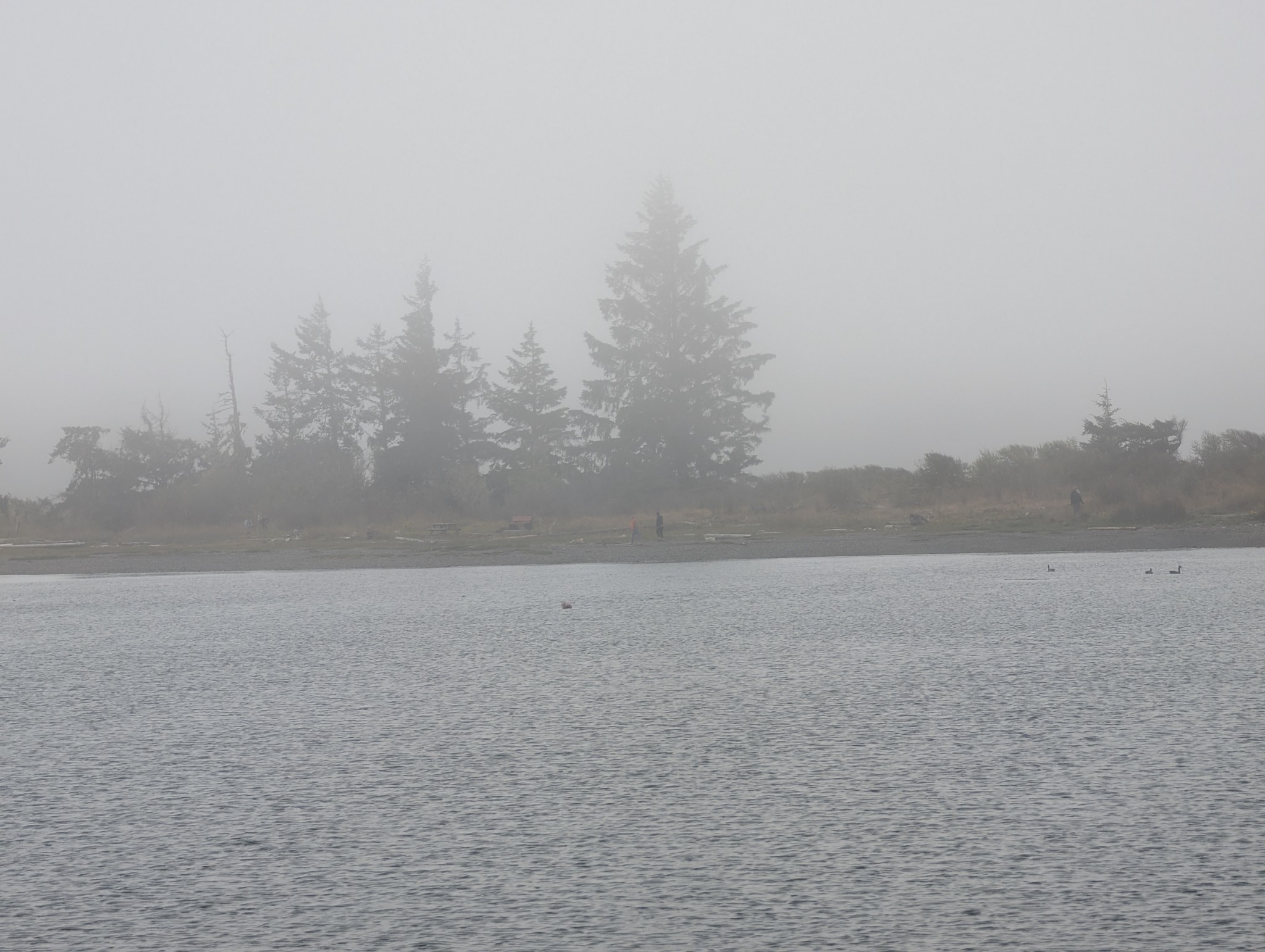
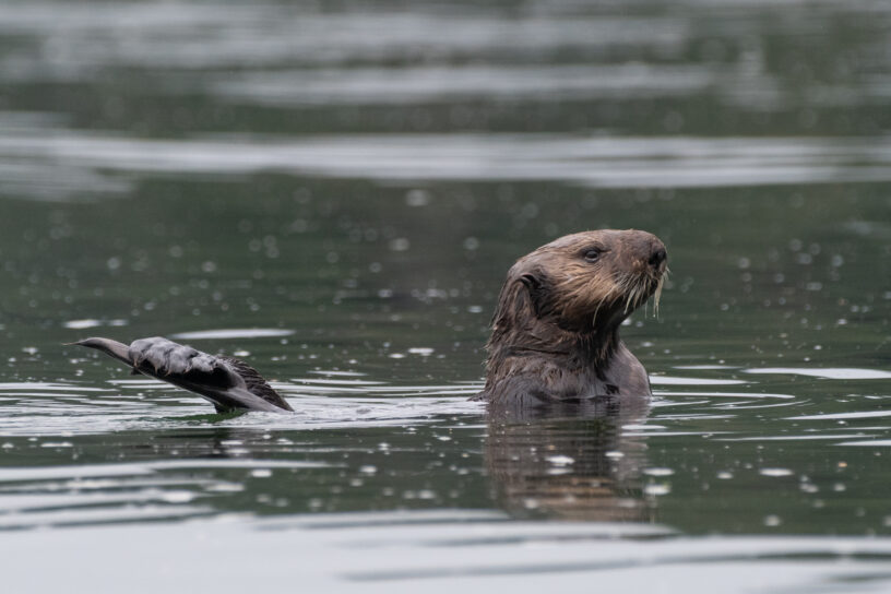
We stayed for two nights at the dock, resting up from the overnight sail, getting what few replacement groceries the General Store offered, and figuring out our next moves and the upcoming weather. Winter Harbour has some very easy sea otter viewing, with rafts of 50+ gathering in the evenings, and some solo otters even coming near the docks. Bald eagles, crows, turkey vultures, and gulls feast on the scraps of fish tossed in the water from the filleting stations on the docks, gathering on the shore at low tide and bickering over the scraps that have washed up. Shorebirds and Belted Kingfishers fly around, calling to each other.
Continue reading →