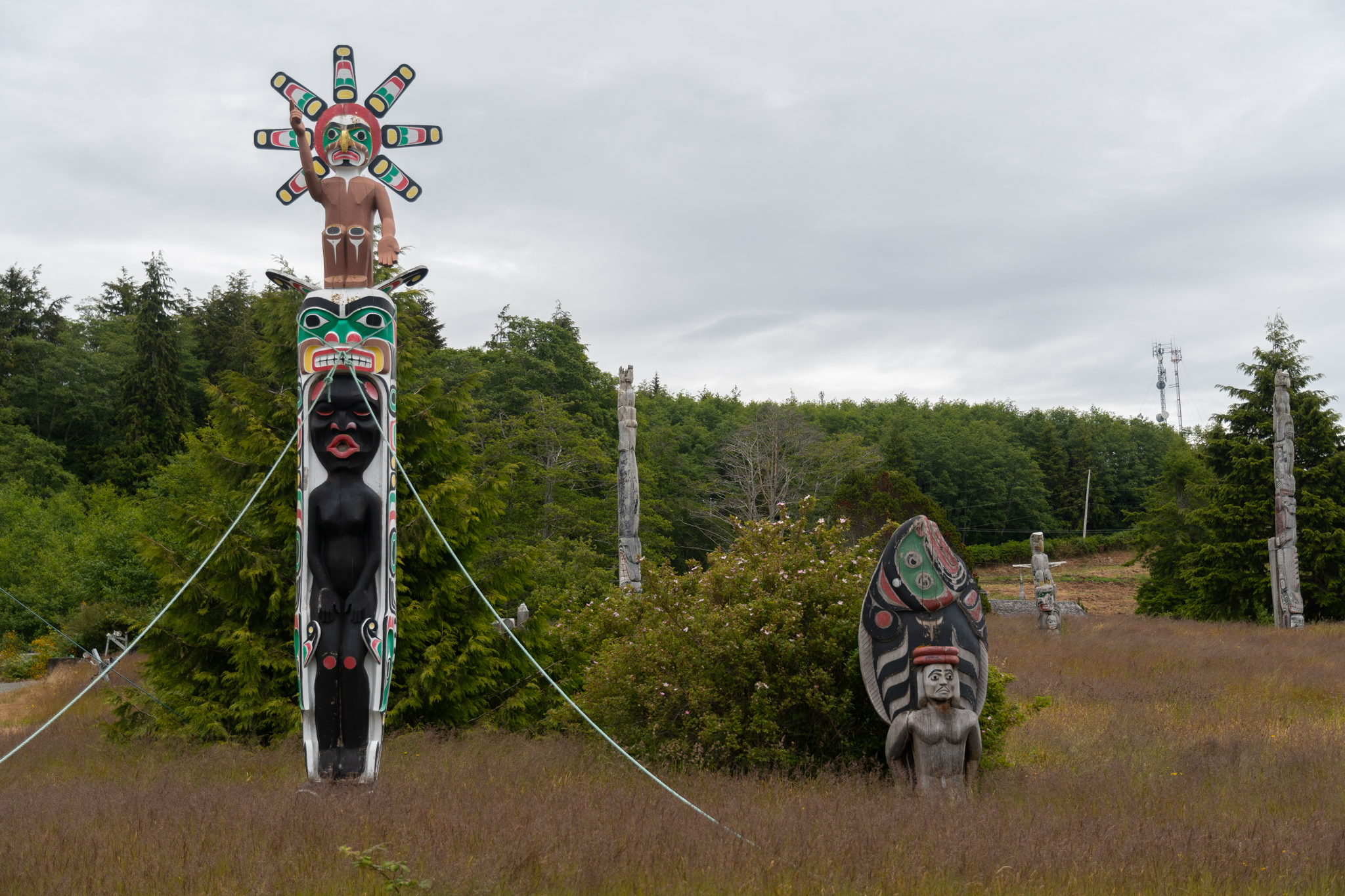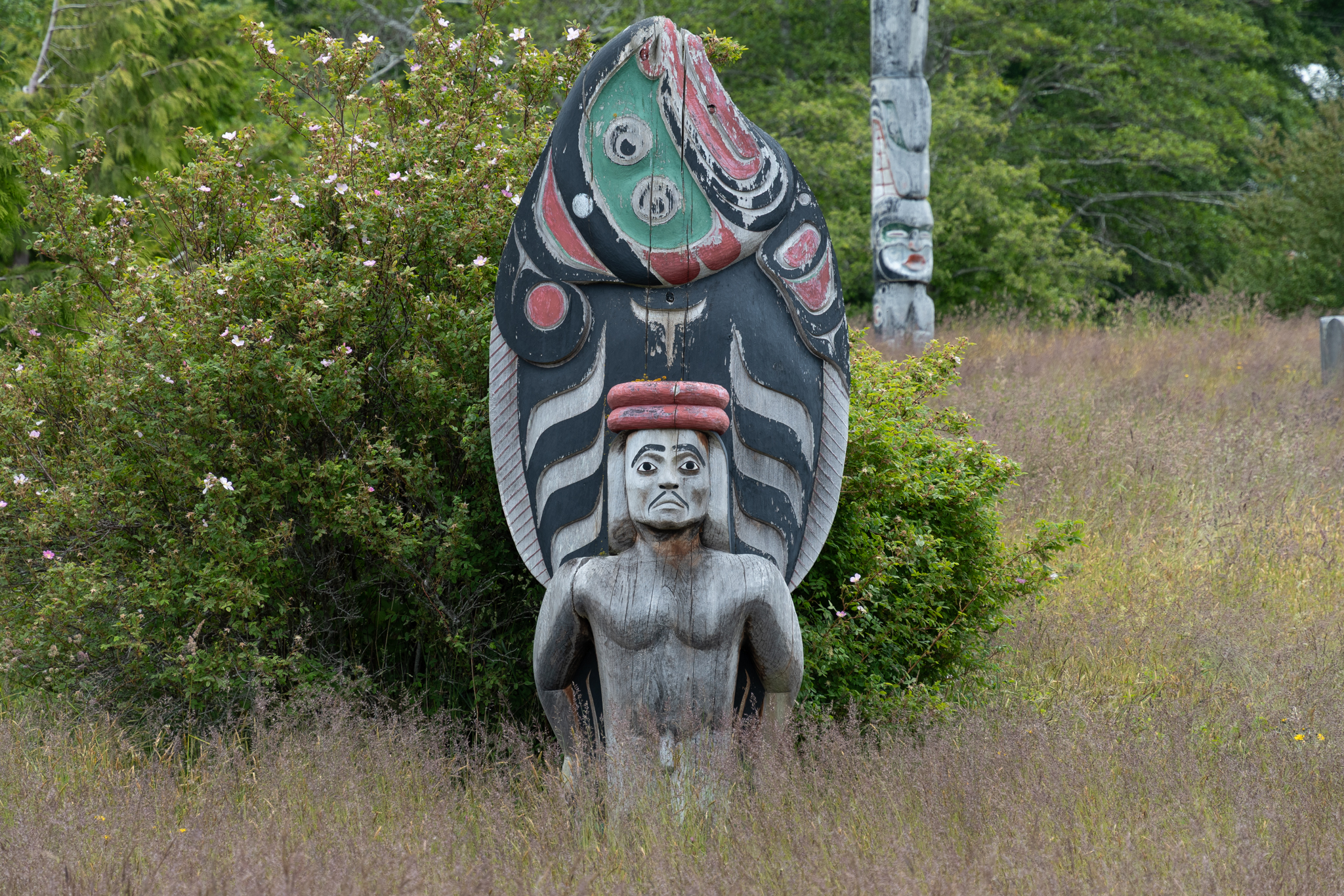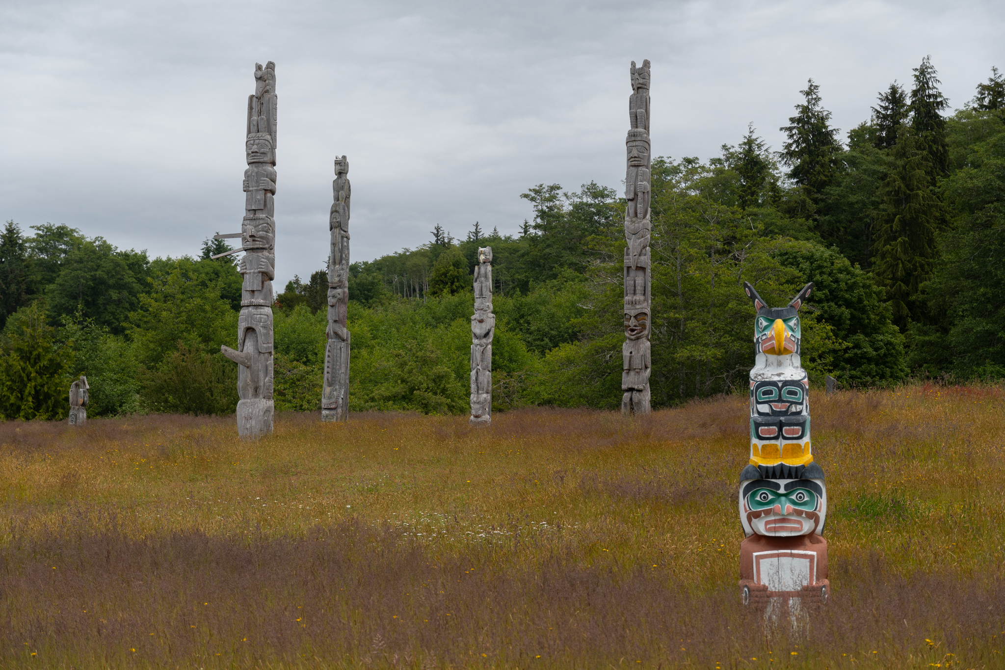
Gwaii Haanas, part 1: T’aanuu Llnagaay & Hlk’yah G̱awG̱a

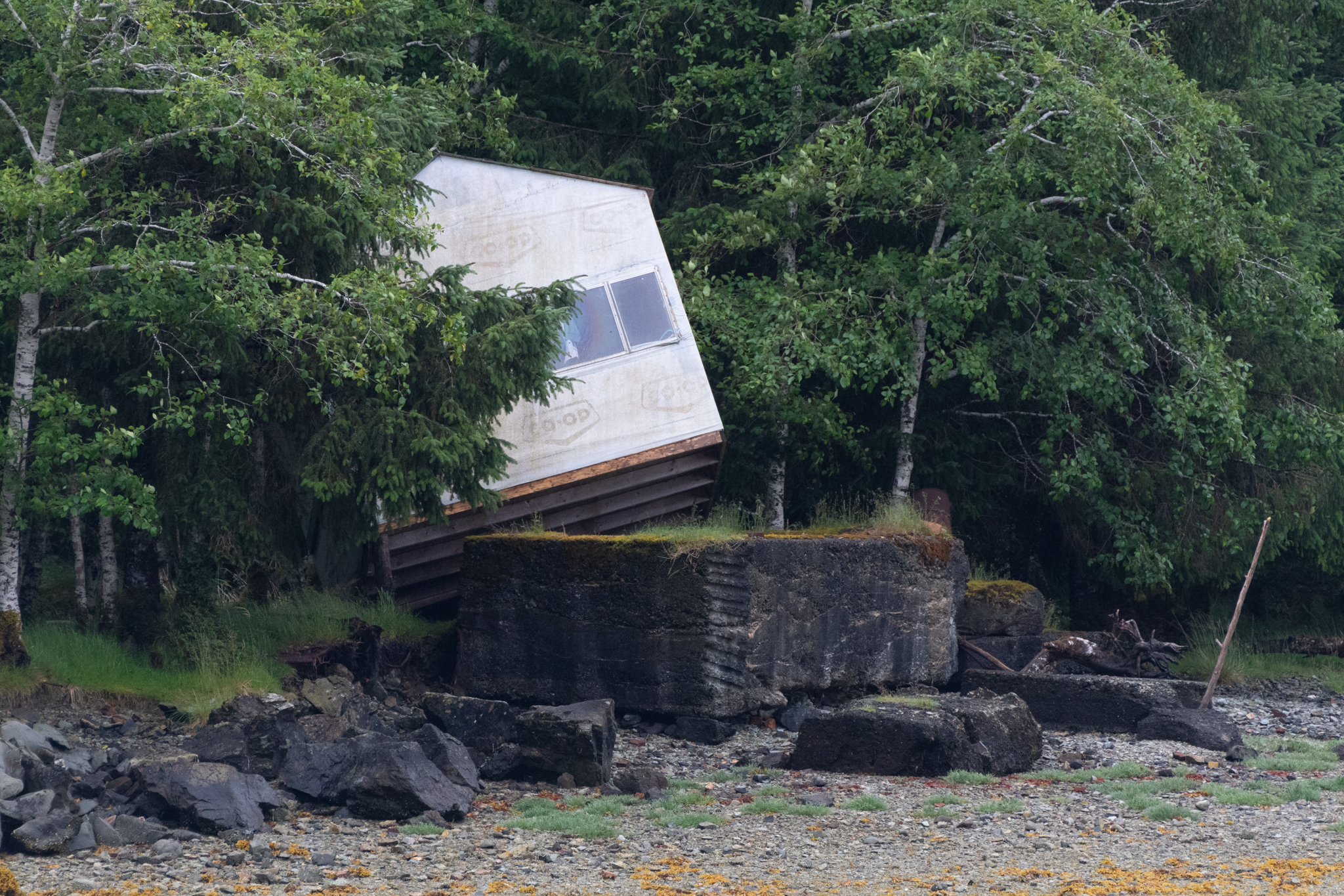
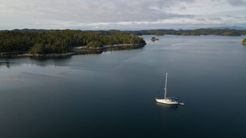
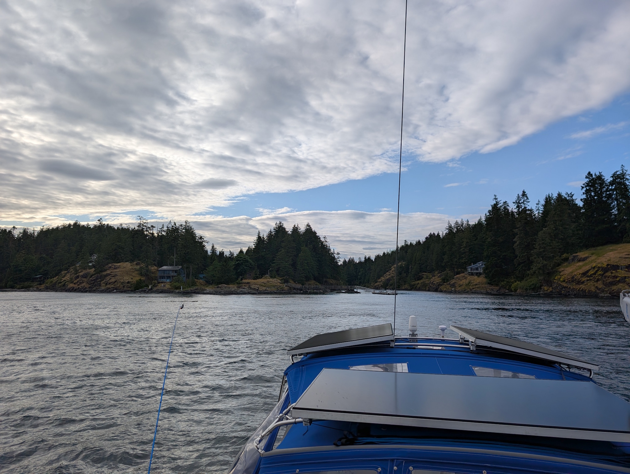
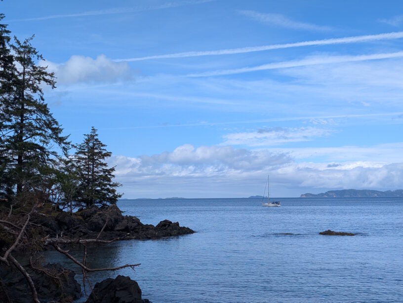
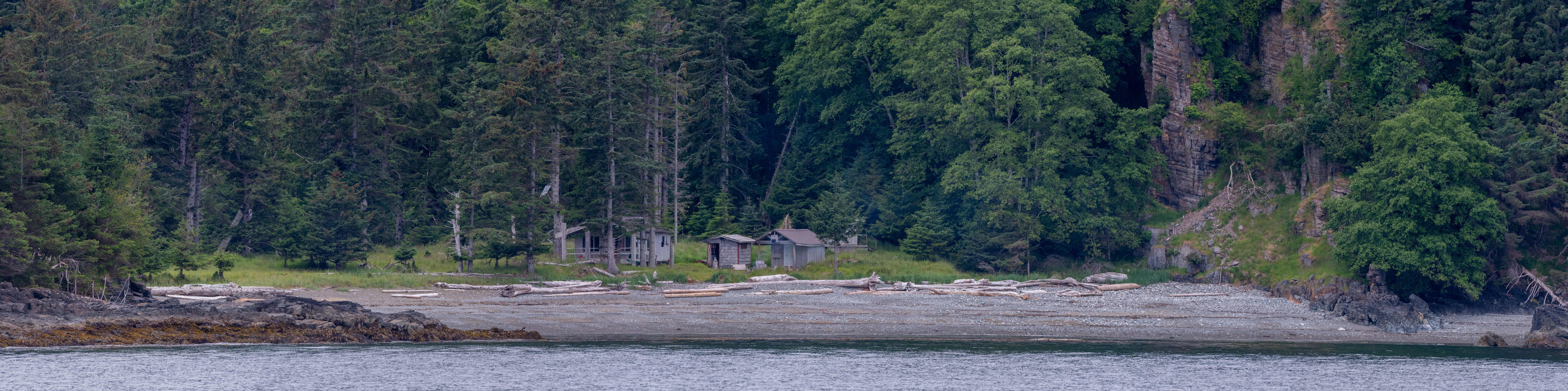
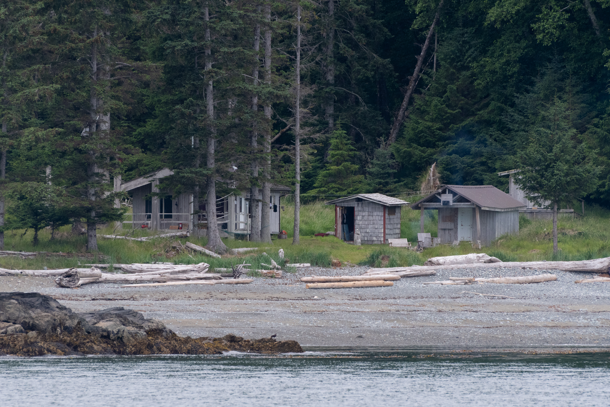
After an overnight at the Sandspit Marina to stock up on toilet paper from the nearby marine store as well as to top our batteries off without running the engine due to a bunch of overcast days in a row, we headed to a protected anchorage just north of Gwaii Haanas. With a day until our permit to enter the park and nasty weather forecast for that day, we decided to stage up in Thurston Harbour (52°50’29″N 131°44’48″W) and wait out the bad weather. This did mean we were unable to stop to go ashore at the northmost Haida Watchman site, Ḵ’uuna Llnagaay (Skedans), but we motored past it to see what we could from the water.
Continue reading

Through the Outside Passage and Across the Hecate Strait

After overnighting at the Shearwater Marina to get our laundry done, we did a bit of final shopping in Bella Bella, as well as dealing with a few items we needed internet connectivity for, we set back off-grid, heading north-west to an overnight anchorage that would give us a good starting point the next morning.

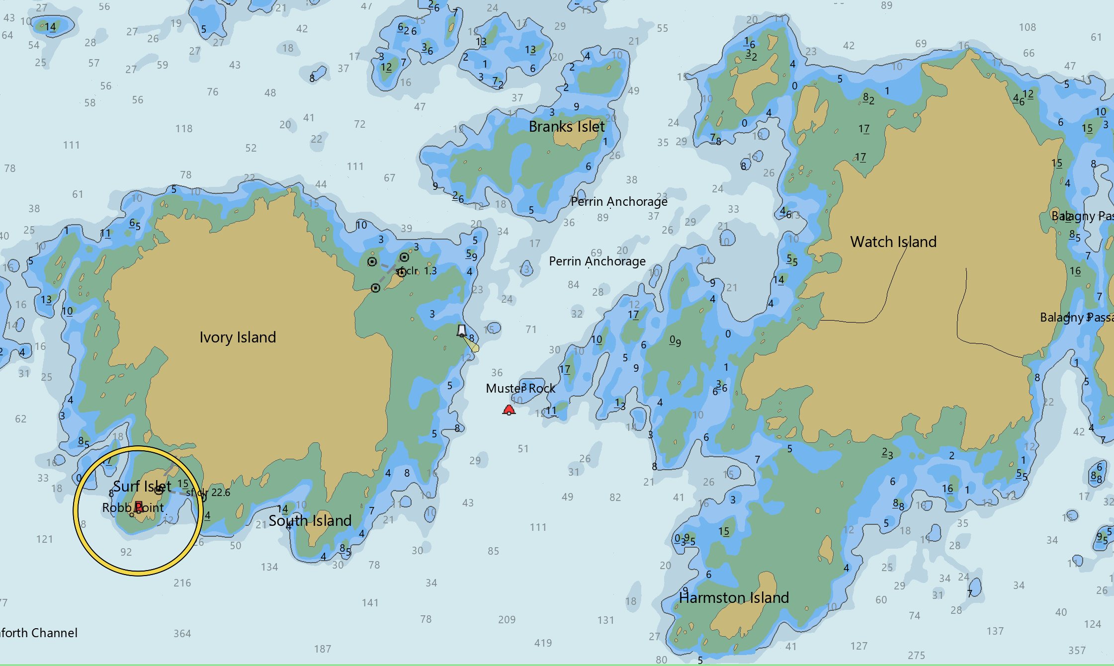
Perrin Anchorage (52°16’38″N 128°22’38″W), between Ivory and Watch Islands, and unnamed on Google Maps, doesn’t look like much from the satellite image, but as you can see from the charts, has reasonable protection in settled weather with a bunch of reefs that dry at low tide. I don’t think it would be comfortable in a southerly blow, but suited our purposes in the weather we had quite nicely.

Continue reading

North of Vancouver Island: Cape Caution & Pruth Bay

Leaving Port McNeill, we staged up for our crossing from the north end of Vancouver Island, past Cape Caution, to the north coast and the Inside Passage, in a tiny cove labeled as Walker Cove on the Canadian charts.

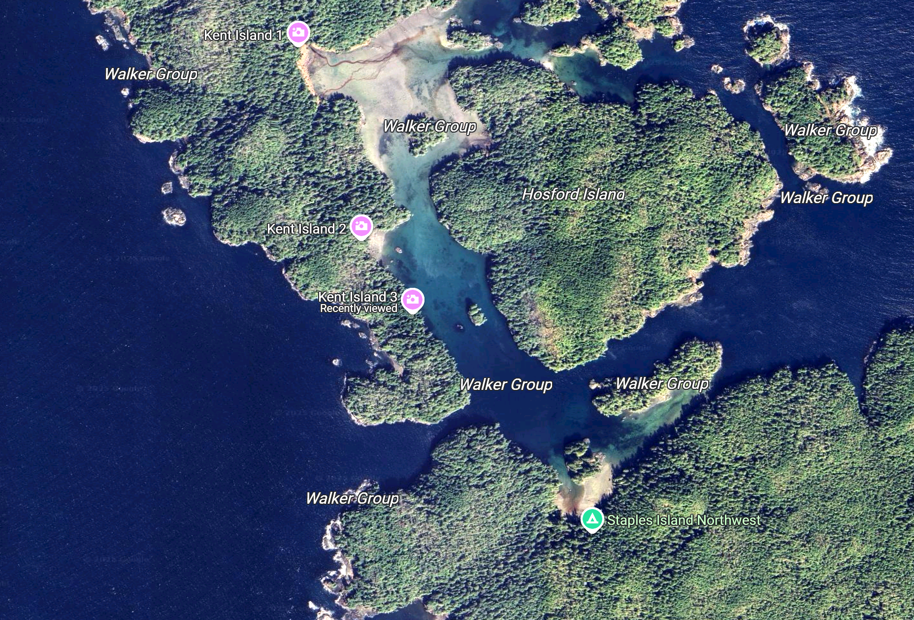
There’s not much room in Walker Cove, and the entrance is even skinnier than the one we’d gone through to get into Gorge Harbour, but it is protected, peaceful, and right next to Gordon Channel, our path out of Queen Charlotte Strait to go north past Cape Caution. It’s also amazing in its raw beauty, and we were alone there.

Continue reading

Alert Bay

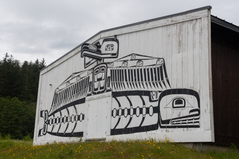
The first of the First Nations communities we anchored at, Alert Bay, has lots of totem poles both old and new, indigenous art, and a lovely museum, the U’mista Cultural Centre. With a focus on preserving the history and culture of the Kwakwa̱ka̱ʼwakw, there was a collection of the creation stories, art, textiles, and even a large collection (no photos allowed) of Potlatch dance masks.

While Alert Bay was between the 50s-70s a booming fishing and marine industry town with, apparently, more than enough liquor, gambling, and other vices to go around, these days it’s a quiet community with ferry service to Port McNeill and lots of indigenous art.

Continue reading

Heading through Johnstone Strait

After several days in Campbell River getting some provisioning done and receiving a few packages in the mail, it was finally time to head north, through Discovery Passage, through the Seymour Narrows, and into the Johnstone Strait. Campbell River is the last large town we’ll see for a while. From here, it’s just small towns and wilderness.

Timing Seymour Narrows is not particularly difficult: the current tables are accurate, and we just had to go through around slack tide. Due to the timing, we were going to have to fight a little bit of current in Discovery Passage once through the Narrows, but getting through was easy, especially with several knots of current carrying us through. Slack tide the day we went (Friday the 13th) was at 1:11pm, and we ended up going through around 12:30.

Continue reading